ALPES - Mercantour-Argentera


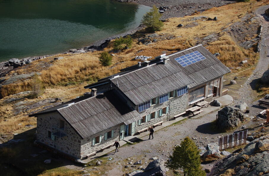
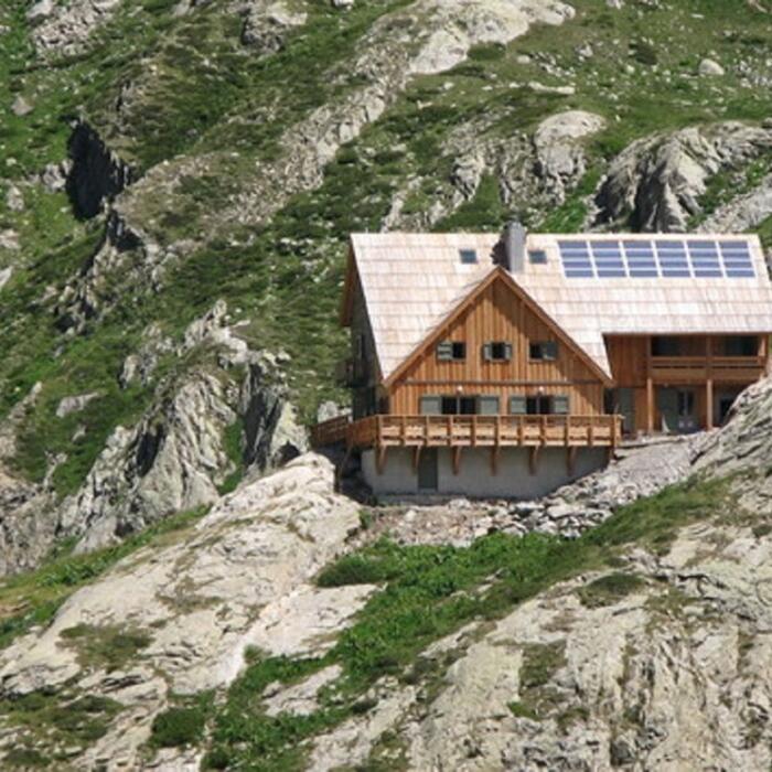
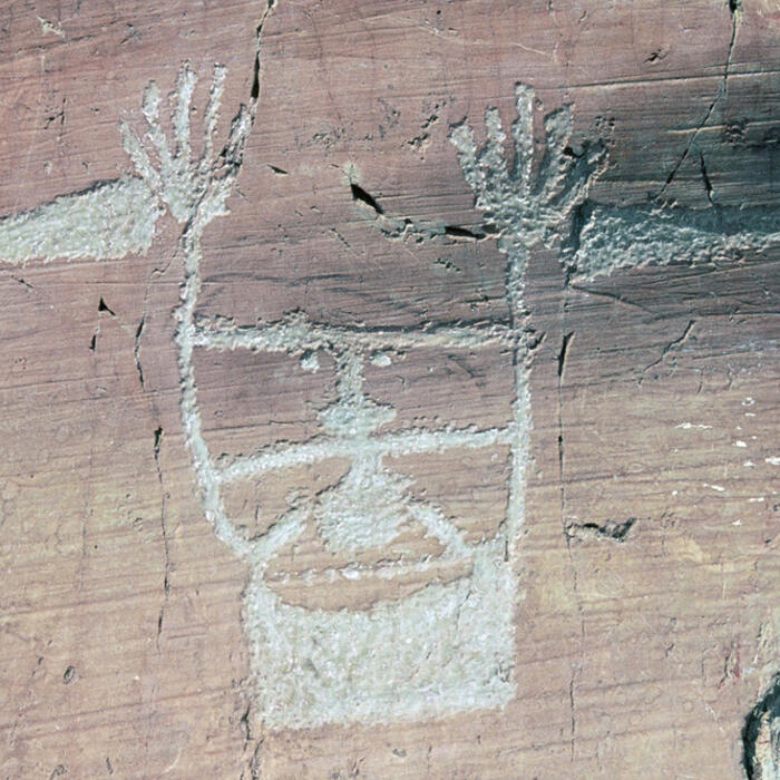
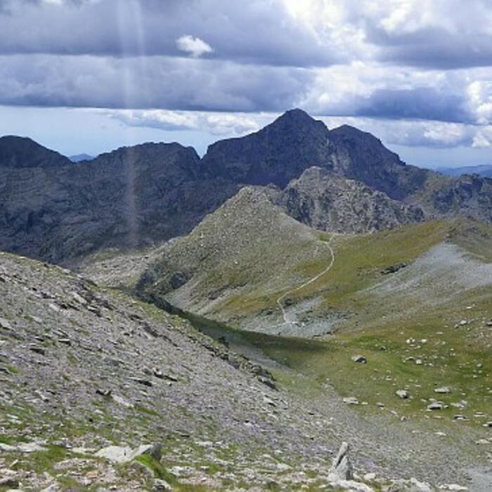
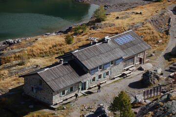
Le refuge est situé sur les bords du lac Long Supérieur, au coeur de la vallée des Merveilles. Entre Mont Bego et Cime du Diable, vous serez témoin de l'histoire en vous rendant sur le lieux. Là, des dizaines de milliers de gravures rupestres sont visible à plus de 2000m d'altitude.
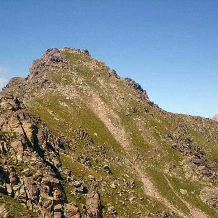
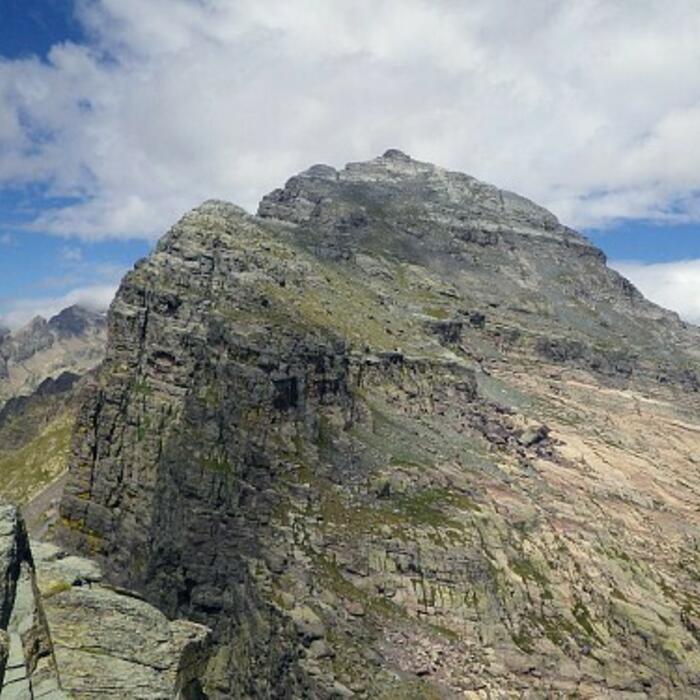
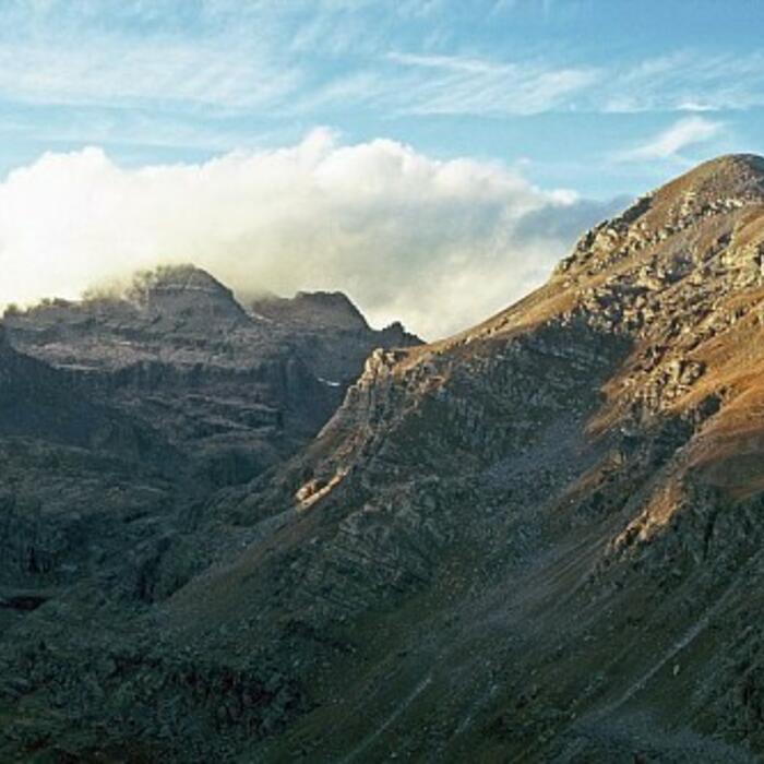
Le refuge des Merveilles est un incontournable du Parc du Mercantour, de par son site exceptionnel de gravures rupestres, mais aussi de par les nombreux itinéraires de randonnée qui l'entourent. Seul, en famille ou entre amis, vous pourrez tous les jours visiter les sites des Gravures à proximité du refuge. Les randonneurs auront un large choix d'intinéraires. Le refuge est situé sur le GR52, et peut être un point d'étape vers le refuge de Nice ou celui de Valmasque. Les alpinistes s'orienteront vers le Mont Bégo, le Grand Capelet, la Cime du Diable ou la Cime des Merveilles. En hiver, nombre d'itinéraires seront accessibles aux skieurs de randonnée.
06430
TENDE
Aude PASQUIER et Yann BONNEVILLE
Aude PASQUIER
GPS (UTM WGS84) : 32T 375995 4879417
Coordonnées GPS décimales : 44.057442, 7.451824
Carte IGN : 3741OT et 3841OT
: Coeur de Parc National du Mercantour
De mi-juin à fin octobre : réservation en ligne uniquement.
Autres périodes : gardiennage sur réservation préalable par courriel à refugedesmerveilles@ffcam.fr.
Langues étrangères parlées : anglais, italien


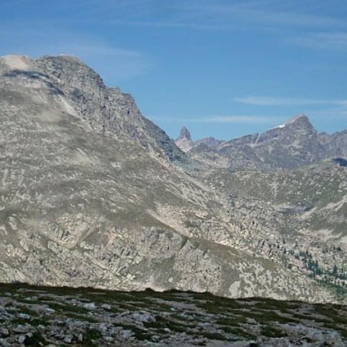
ALPINISME : Mont Bégo - Grand Capelet - Cime du Diable - Cime des Merveilles
RANDONNEE : GR52 - Traversée vers le refuge de Nice, vers le refuge de Valmasque - Castérino
SKI : Haute route des Alpes Maritimes - Mont Bégo - Cime du Diable - Cime des Merveilles - Baisse de Valmasque
+ sur sud.alpes-refuges.fr
Cocher ou décocher les groupes d'informations que vous souhaitez voir apparaître sur la carte.
Seuls les éléments liés "à l'entrée" (exemple : circuit X) sur laquelle vous êtes venus sur la carte sont affichés.


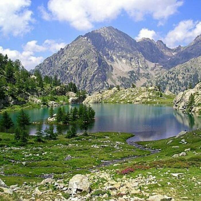
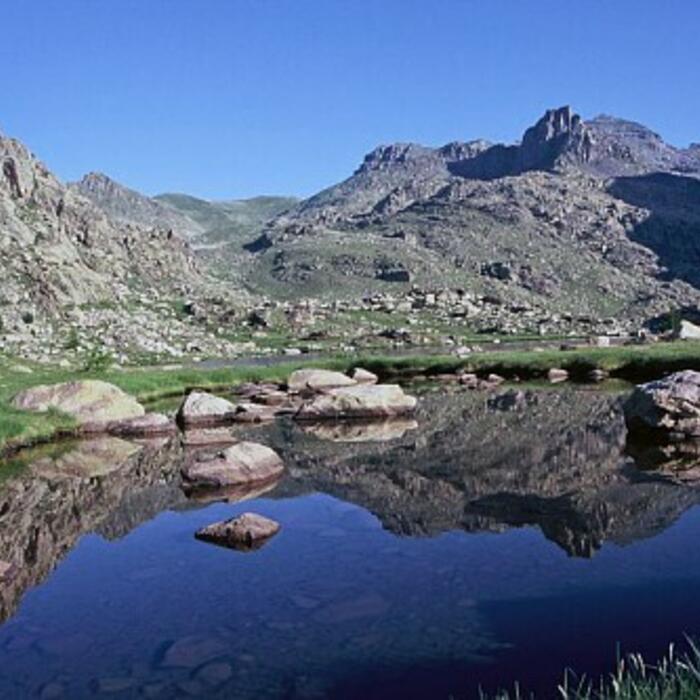
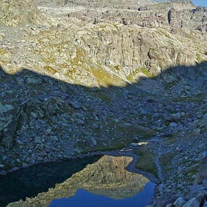


 Merveilles : Lac des Mesches