Du Boréon aux Merveilles Traversée 6 jrs

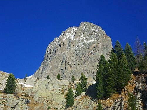
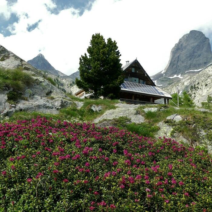
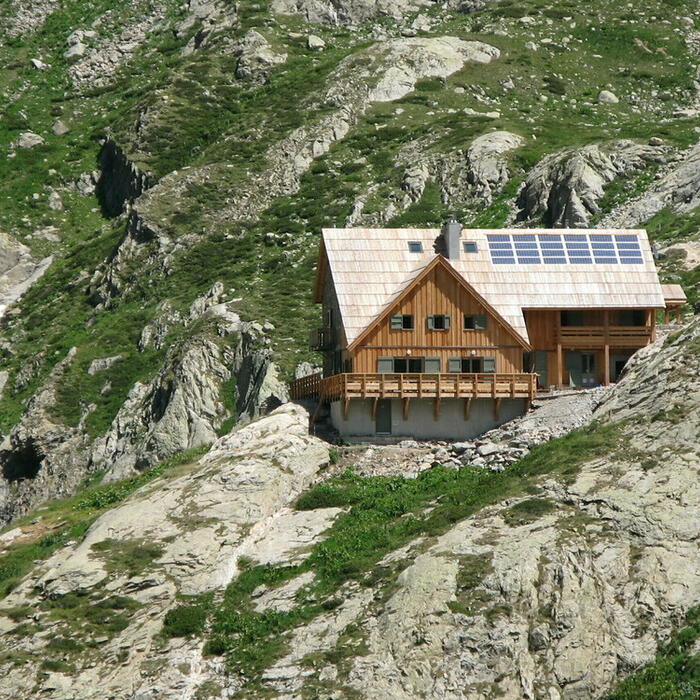
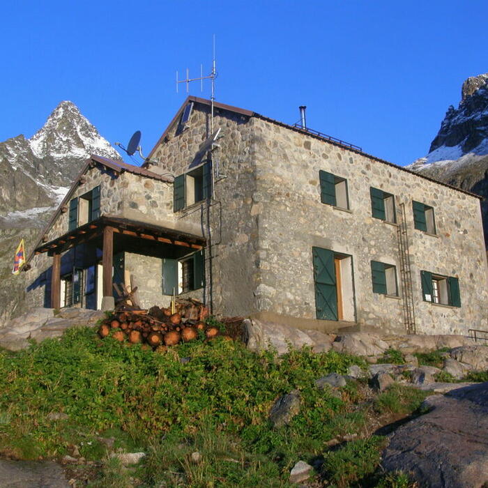
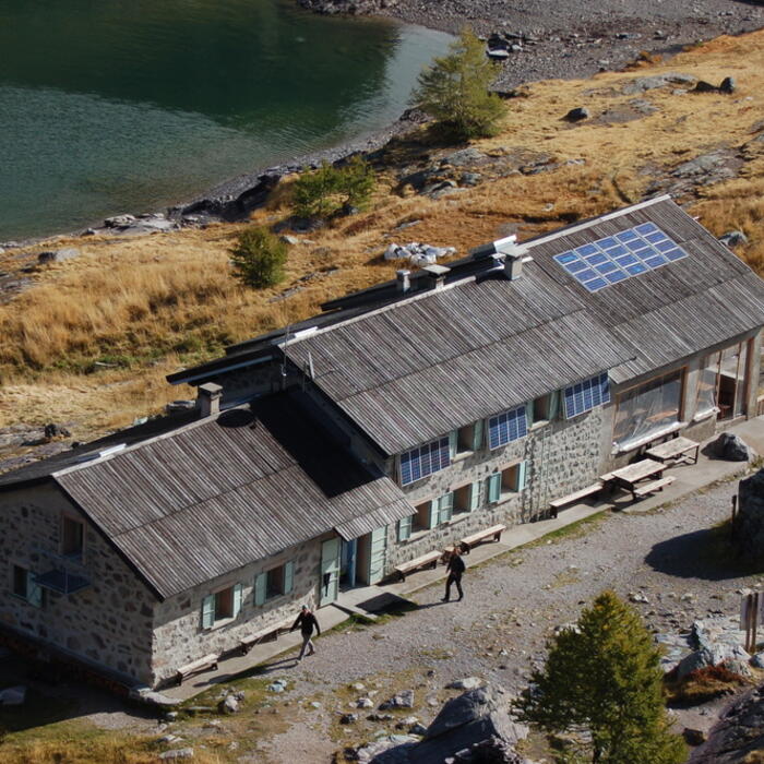
ALPES - Mercantour-Argentera
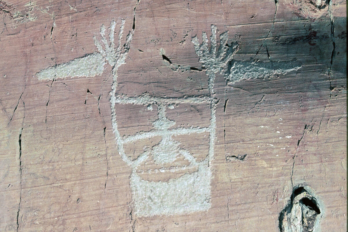
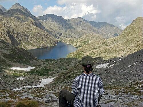
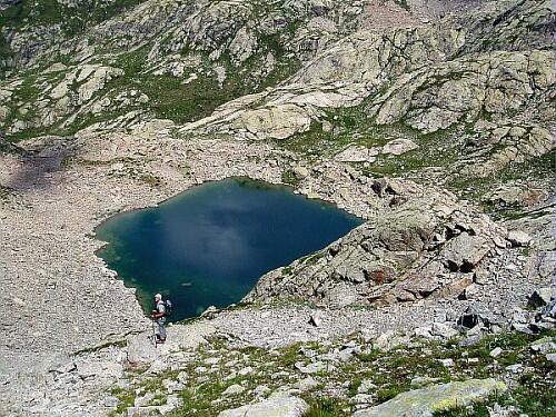
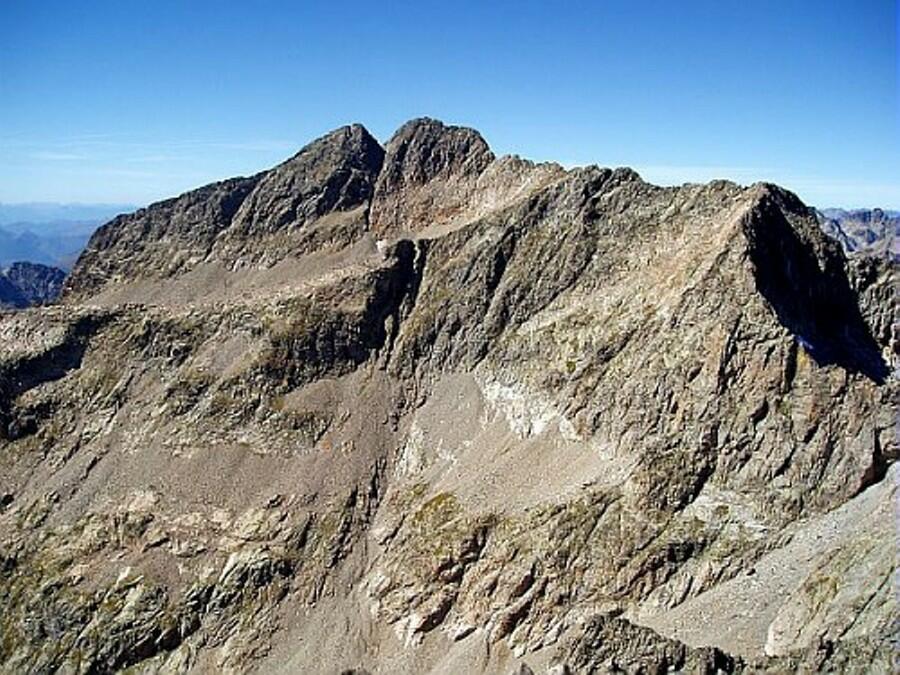
A pied

6 jours

35 km

2500 m

2750 m

Difficulté 3

3741OT

à traduire (en)

2828 m

Durée de l'étape la plus longue
05:30:00

6 days of scenery by wandering from mountain hut to mountain hut, from the forest of Boréon to the prehistoric engravings of the Valley of Merveilles. To be completed by a few nearby summits (see the tab Itineraries).

Traverse over 6 days: departure from the upper car park of Boréon, arrival at the lake of Mesches

Connection via Nice by public transport on departure and arrival at certain times of the year (see the tab Tourist Info)

CHECK THE SNOW CONDITIONS OF EACH STAGE OF YOUR ROUTE A FEW DAYS BEFORE. HUT MANAGERS WILL PROVIDE YOU WITH INFORMATION. 

Tick and untick to personalise your map. You will only see elements linked 'at the start' on your map (See path X)

Loading
Ski-ing conditions :
Orientation :

Downloads
Stages A pied
  • Start:Cougourde : Boreon Supérieur-Hors enneigement
  • End:REFUGE DE LA COUGOURDE (FFCAM)
  • Duration:02h00
  • Dénivelé positif en été:450 m
  • Distance en été:3.2 km
  • Difficulty:à traduire (en)
  • Remarks:
    From the upper parking lot of Boréon (1610 m-beacon.420)
    Take left the wide path.
    At the beacon 421, go on straight ahead, ignoring the right pathway leading to Maïris.
    Start going upwards to the chalet Vidron (beacon.422).
    Continue on the yellow marking to reach the bridge of Peirastreche that take to cross the stream of Boréon (beacon.423).
    Then, on the other bank, continue to go upwards on the GR52, ignoring the tiny pathway on the left at a large cairn. Once reached the plateau of Gias de Peirastreche (beacon.425), leave the GR and climb on the left path that will lead you to a plateau.
    From there, the mountain hut of Cougourde (Refuge de Cougourde-2122 m) is near on your left.
  • Start:REFUGE DE LA COUGOURDE (FFCAM)
  • End:CHALET DE LA MADONE DE FENESTRE (FFCAM)
  • Duration:03h15
  • Dénivelé positif en été:320 m
  • Dénivelé négatif en été:530 m
  • Distance en été:5.9 km
  • Remarks:
    Through Pas des Ladres

    Please note that there is a passage of scree.

    Description:
    From the mountain hut of Cougourde (2122 m), head East to cross the stream by the footbridge (beacon.426).
    Take the signposted pathway,towards the lake of Trecolpas which will traverse till you reach the beacon 427.
    From there, reach soon the lake of Trecolpas following the white and red marking of the GR 52. Go on along its edge. Once you pass the lake, the slope will steepen up all of a sudden and the climb will end with several zigzags on a fairly steep slope before reaching the Pas des Ladres (2448 m-beacon.428).
    From there, descend by the rather fast and very winding route of the GR 52 which leads to the Madone de Fenestre (1915 m) via the beacon 368.
  • Start:CHALET DE LA MADONE DE FENESTRE (FFCAM)
  • End:REFUGE DE NICE (FFCAM)
  • Duration:05h00
  • Dénivelé positif en été:680 m
  • Dénivelé négatif en été:370 m
  • Distance en été:5.7 km
  • Remarks:
    Through Pas du Mont Colomb

    Please note that there are few steep passages.

    Description:
    From the mountain hut of Madone de Fenestre (1915 m), go towards the cowshed "Vacherie de la Madone" (beacon 359) and then follow the direction of the mountain pass of Mont Colomb (Pas du Mont Colomb).
    Pass the beacon 367 by continuing on the white and red marking of the GR pathway, which will climb bypassing the "Caïre de la Madone".
    Take care to follow the marking of the GR and not the cairns that lead into big uncomfortable blocks. Climb up the slope which, after the lakes, stiffen up to reach the mountain pass of Mont Colomb (Pas du Mont Colomb 2548 m-beacon 400).
    Go for the steep descent on the other side always taking care to follow the marking of the GR. Once reached the beacon 416 at the bottom, go on the left in direction of the mountain hut of Nice (Refuge de Nice).
    A small climb leads you along the banks of the lake of La Fous that you will bypass. From there, the mountain hut of Nice (2220 m) is visible just on the other side of the lake.
  • Start:REFUGE DE NICE (FFCAM)
  • End:REFUGE DE LA VALMASQUE (FFCAM)
  • Duration:05h30
  • Dénivelé positif en été:640 m
  • Dénivelé négatif en été:640 m
  • Distance en été:5.7 km
  • Difficulty:à traduire (en)
  • Remarks:
    Through Pas de la Fous

    WARNING: Route without signposts. Requires map and compass, or GPS. Please note that this route includes progression on scree.

    Description:
    From the mountain hut of Nice (2232 m-beacon 417), follow the red and white markings of the GR52 which goes up a few meters to emerge on a grassy flat land.
    On approaching the beacon 418 (2250 m), leave the GR to go East-North-East on a pathway with cairns located on the right orographic bank of the valley of La Fous. Around the map point 2367, the tiny pathway will turn to the left to go up in a steep slope of scree, and pass under the summit Asquasciati.
    At about 2550m altitude, the slope will subside in the upper part of the valley, and the tiny pathway will take an East-Northeast axis until reaching the mountain pass of La Fous (2828 m).
    Descend in the opposite slope by a tiny pathway in zigzags that joins the lake of Lusière (2640 m).
    From there, by a pathway with cairns largely below the ridge, take a Southeastern direction, then East to descend and at the bottom cross the spillway of the lake Noir.
    Then join the trail of the lakes which one takes on its left. Once reached the beacon 97 (2294 m), follow on your right the path that goes down till the beacon 98 (2205 m).
    From there, do not continue the descent, but follow on the left the direction of the mountain hut of Valmasque (Refuge de Valmasque, 2233 m) that you will reach after a last short climb and after crossing the dam.
  • Start:REFUGE DE LA VALMASQUE (FFCAM)
  • End:REFUGE DES MERVEILLES (FFCAM)
  • Duration:03h30
  • Dénivelé positif en été:360 m
  • Dénivelé négatif en été:470 m
  • Distance en été:8.6 km
  • Remarks:
    Through Baisse de Valmasque

    Hiking on a site classified historic monument that confers regulated usage

    Description:
    From the mountain hut of Valmasque (2233 m-beacon 98a), go straight ahead and, a few meters away, begin the short descent till the beacon 98. From there,stop the descent and turn on your right to climb till beacon 97.
    Then turn left on the pathway which runs along the river banks of lake Noir, and of lake of Basto.
    Afterwards ignore the pathways first on your left and then on your right, but go on straight away on the pathway with huge zigzags that leads to the mountain pass of Valmasque (Baisse de Valmasque 2549 m-beacon 94).
    From there, turn slightly on the opposite side by the pathway which lowers and sinks in the 'Vallée des Merveilles'. The pathway then passes near engraving areas indicated by explanatory panels.
    At the beacon 93, follow the red and white marking on the left, which will soon goes down by two or three zigzags before reaching the mountain hut of Merveilles (Refuge des Merveilles 2115 m-beacon 92).
  • Start:REFUGE DES MERVEILLES (FFCAM)
  • End:Merveilles : Lac des Mesches
  • Duration:02h30
  • Dénivelé négatif en été:740 m
  • Distance en été:7 km
  • Difficulty:à traduire (en)
  • Remarks:
    From the mountain hut of Merveilles (2111 m), follow the track approximately 1 km until the tag 90.
    Leave it for the benefit of a marked trail that descends into the Valley of hell and opens again on the track at the beacon 89 level. Borrow it downhill on about 150 m up to the beacon 89.
    Leave the track to cross the stream by a wooden footbridge and engage in the mining Valley.
    The 383 tag, ignore left the path of Valaurette to continue in the direction of the Valaura mining we attain after having skirted the orographic left bank of the Lake.
    Move between the buildings and the track that descends to the road (b.84) and the car park of the lake of Mesches (1400 m).

<< < > >>

You can book your accommodation if their availabilities show. If not, there is a link to websites where you can make your reservation.