ALPES - Mercantour-Argentera
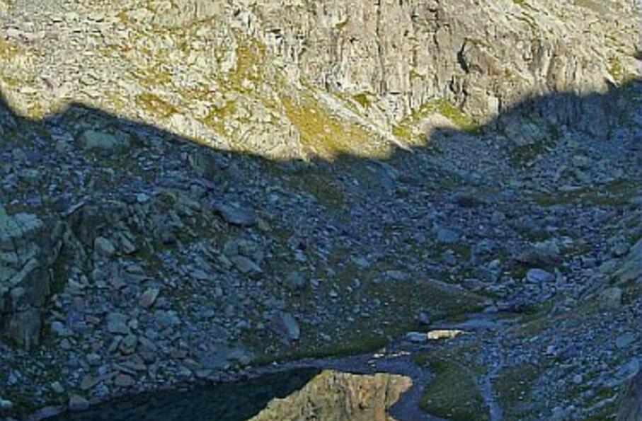
Une randonnée culturelle au lac des Merveilles dominé par la roche de "l'Autel" riche de 1224 gravures rupestres (zone protégée)
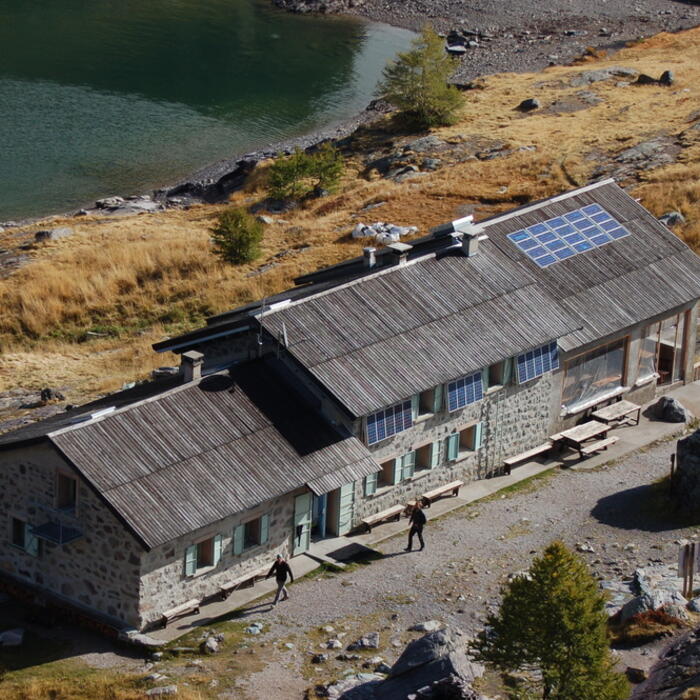
Aller-retour depuis le refuge des Merveilles
Cocher ou décocher les groupes d'informations que vous souhaitez voir apparaître sur la carte.
Seuls les éléments liés "à l'entrée" (exemple : circuit X) sur laquelle vous êtes venus sur la carte sont affichés.
| Etape | A pied |
|---|---|
|
|


