ALPES - Queyras Sud-Parpaillon-Ubaye-Orrenaye
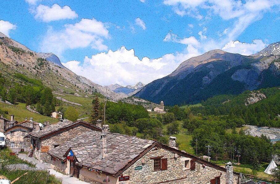
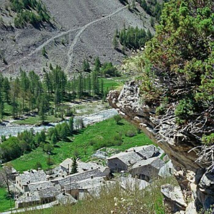
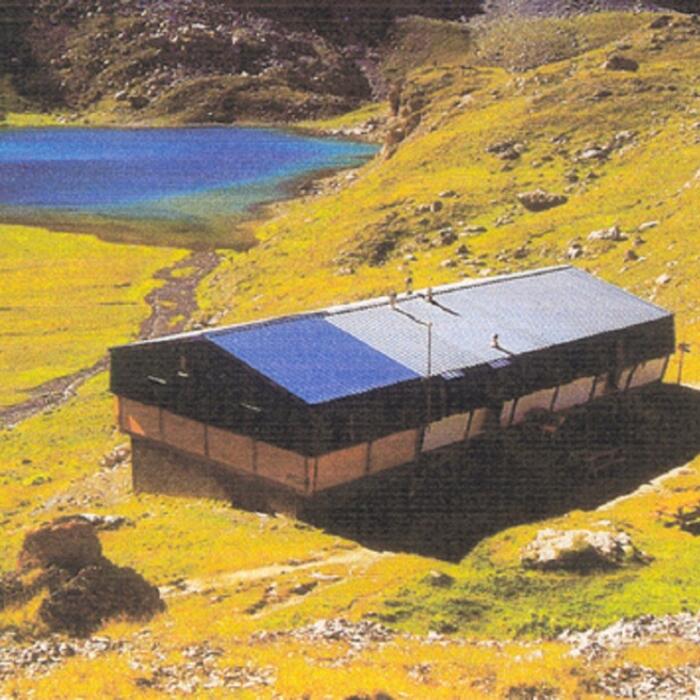
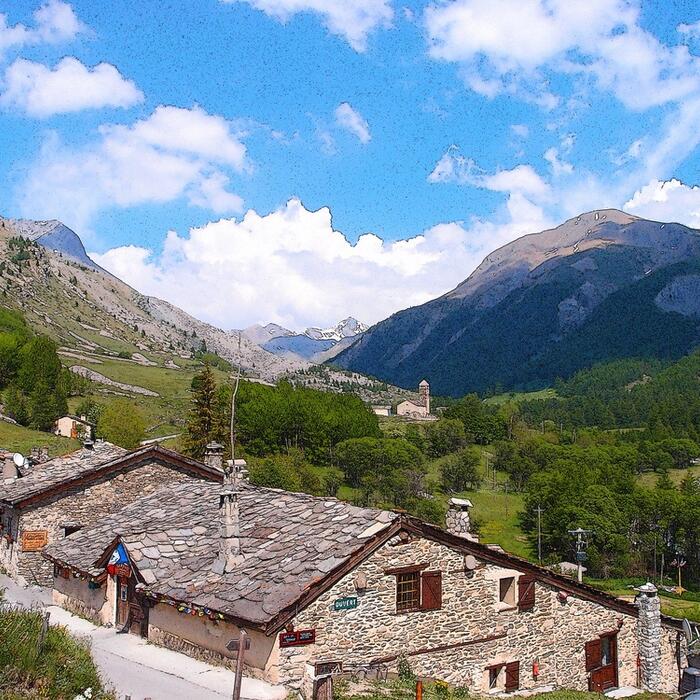
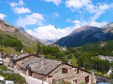
Au fond de la haute vallée de l'Ubaye, au coeur du hameau de Maljasset, le chalet du même nom est une très ancienne ferme, aux salles voûtées, au toit de lauzes. Le bâtiment a été transformé intérieurement en un gîte chaleureux et confortable.
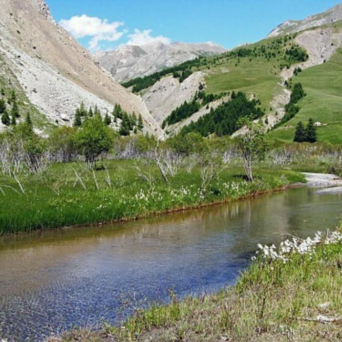
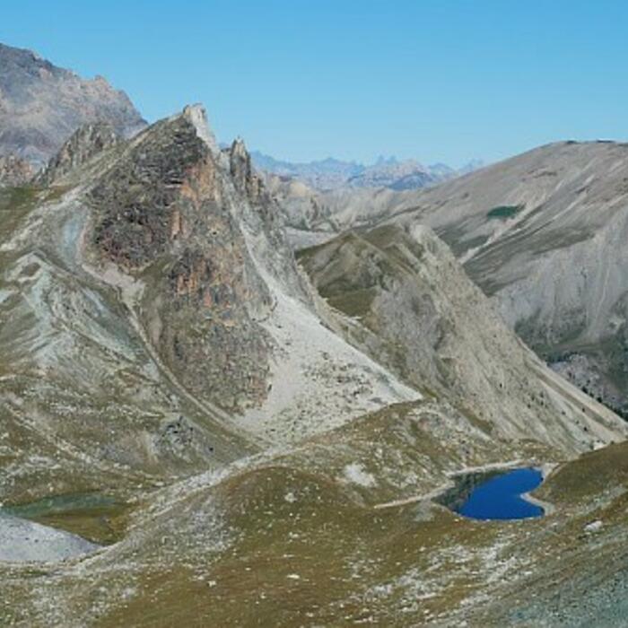
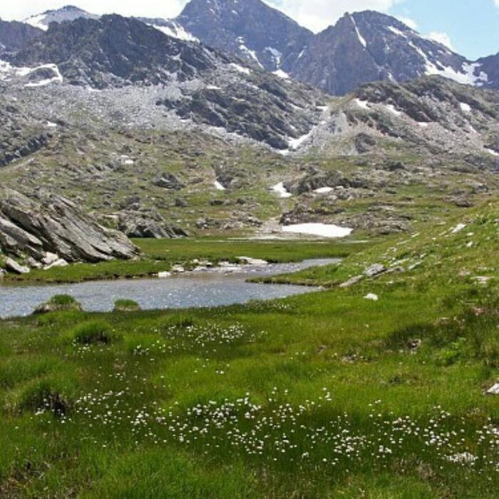
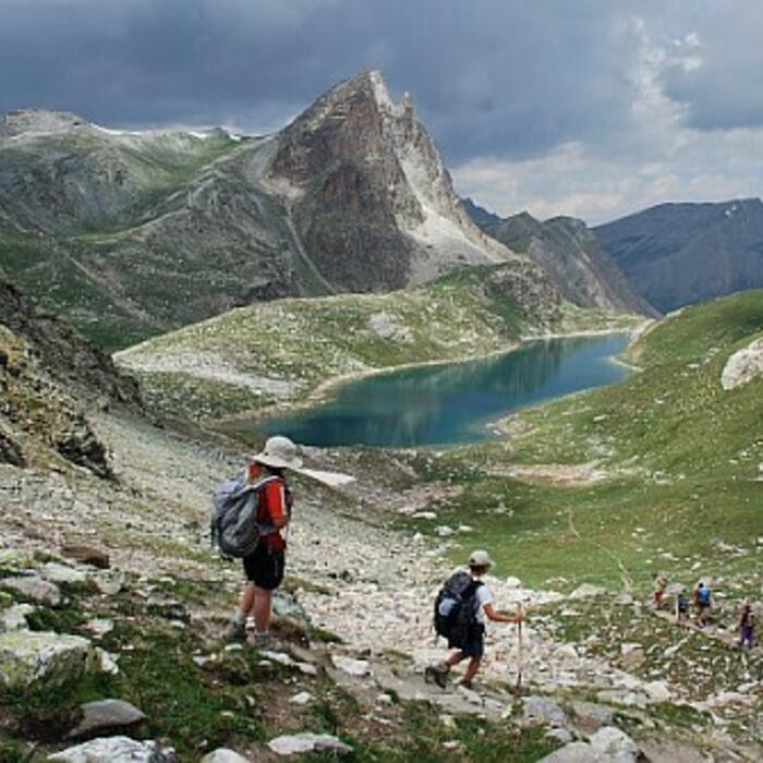
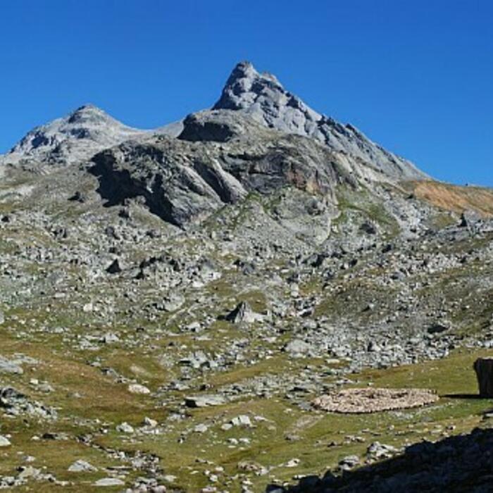
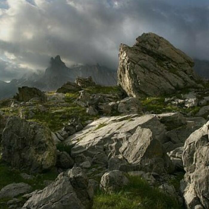
Le Chalet de Maljasset est un avant poste de la Haute Ubaye, pour les inconditionnels de la montagne sauvage et minérale. Il est situé sur la Grande traversée des Alpes, ainsi que sur le GR5. Les alpinistes et grimpeurs s'orienteront vers les aiguilles de Chambeyron, la Font Sancte, la Tête des Toillies, ou l'Aiguille Pierre André. En hiver, le ski de randonnée est roi en haute Ubaye. Avec peu de monde sur les itinaraires, vous pourrez vous lancer vers la Traversée des cols Girardin, le col de la Noire, les pointes Mary.
Au chalet, les gardiens cuisinent avec des produits frais et des producteurs locaux, bio quand cela est possible. Ici, tout est fait maison. La cuisine est généreuse et gourmande.
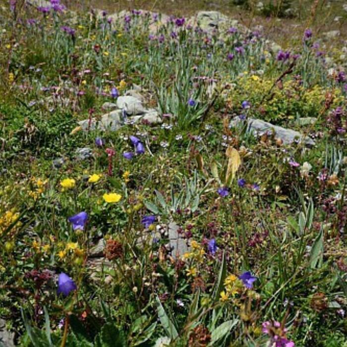
Un lieu idéal pour découvrir le très charmant hameau de Maljasset, pratiquer diverses activités à la journée, et bien sûr se détendre dans un paysage idyllique.
04530
SAINT-PAUL SUR UBAYE
Federica PERINO FONTANA
Federica PERINO FONTANA
GPS (UTM WGS84) : 32T 328756 4939988
Coordonnées GPS décimales : 44.592865, 6.842516
Carte IGN : 3538 ET - 3637 OT
Hiver : de mi-décembre à mi-avril
Été : de début juin à fin septembre


Accès en transports en commun : Gare SNCF : Gap ou Marseille www.ter-sncf.com/Regions/Paca Correspondance routière : ligne Marseille - Gap - Barcelonnette : www.info-ler.fr Autocars SCAL - Tél : 04 92 81 00 20 ou www.infociao.com www.scal-amv-voyages.com Tel : 04.92.51.06.05 Transport à la demande entre Barcelonnette et Saint Paul sur Ubaye : Réservation la veille avant 18 h au 04.92.81.07.00 www.petetin.com Taxi entre St Paul sur Ubaye et Maljasset : www.ubaye.com.
Parking à l'entrée du hameau de Maljasset


ALPINISME : Aiguilles de Chambeyron - Font Sancte - Tête des Toillies
ESCALADE : Aiguille Pierre André - Peigne - Gelinasse - Sanglier
RANDONNEE : Grande Traversée des Alpes (GTA) - GR5 - Tour du Chambeyron
SKI : Traversée des Cols Girardin - Col de la Noire, Pointes Mary
+ sur http://sud.alpes-refuges.fr/randos-autour-de-maljasset.html
Cocher ou décocher les groupes d'informations que vous souhaitez voir apparaître sur la carte.
Seuls les éléments liés "à l'entrée" (exemple : circuit X) sur laquelle vous êtes venus sur la carte sont affichés.


 Maljasset : parking 100m avant hameau