ALPES - Queyras Sud-Parpaillon-Ubaye-Orrenaye
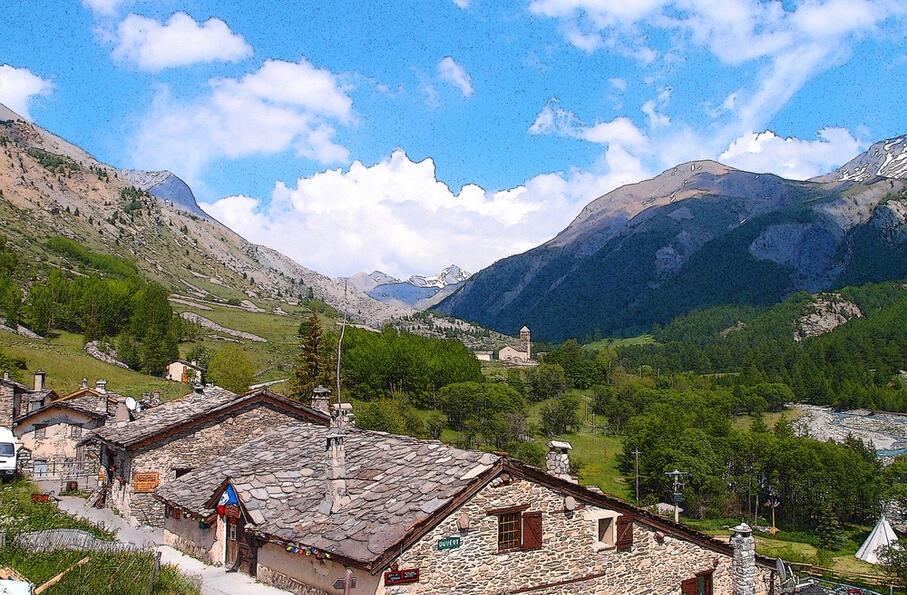
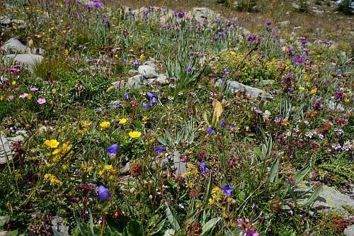
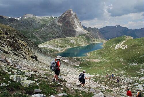
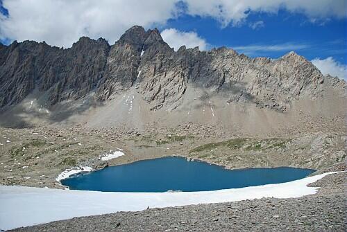
Une superbe randonnée avec, pour toile de fond, les paysages de la Haute-Ubaye
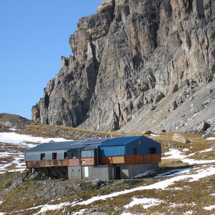
Traversée sur 1 journée : départ du refuge de Chambeyron, arrivée au refuge de Maljasset
ATTENTION : VERIFIEZ IMPERATIVEMENT LES CONDITIONS D'ENNEIGEMENT DE VOTRE PARCOURS QUELQUES JOURS AVANT DE L'ENTREPRENDRE. LES GARDIENS DE REFUGE VOUS RENSEIGNERONT
Cocher ou décocher les groupes d'informations que vous souhaitez voir apparaître sur la carte.
Seuls les éléments liés "à l'entrée" (exemple : circuit X) sur laquelle vous êtes venus sur la carte sont affichés.
| Etape | A pied |
|---|---|
|
|