ALPES - Queyras Sud-Parpaillon-Ubaye-Orrenaye
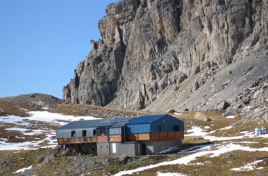
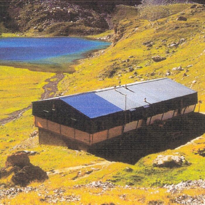
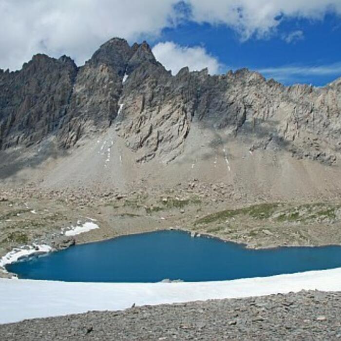
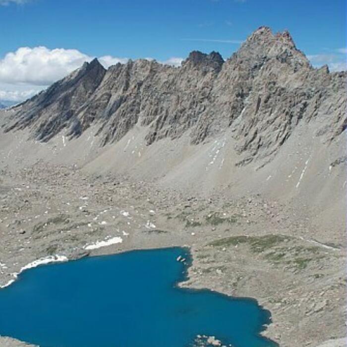
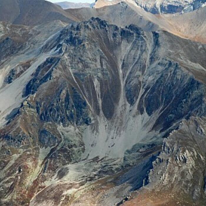
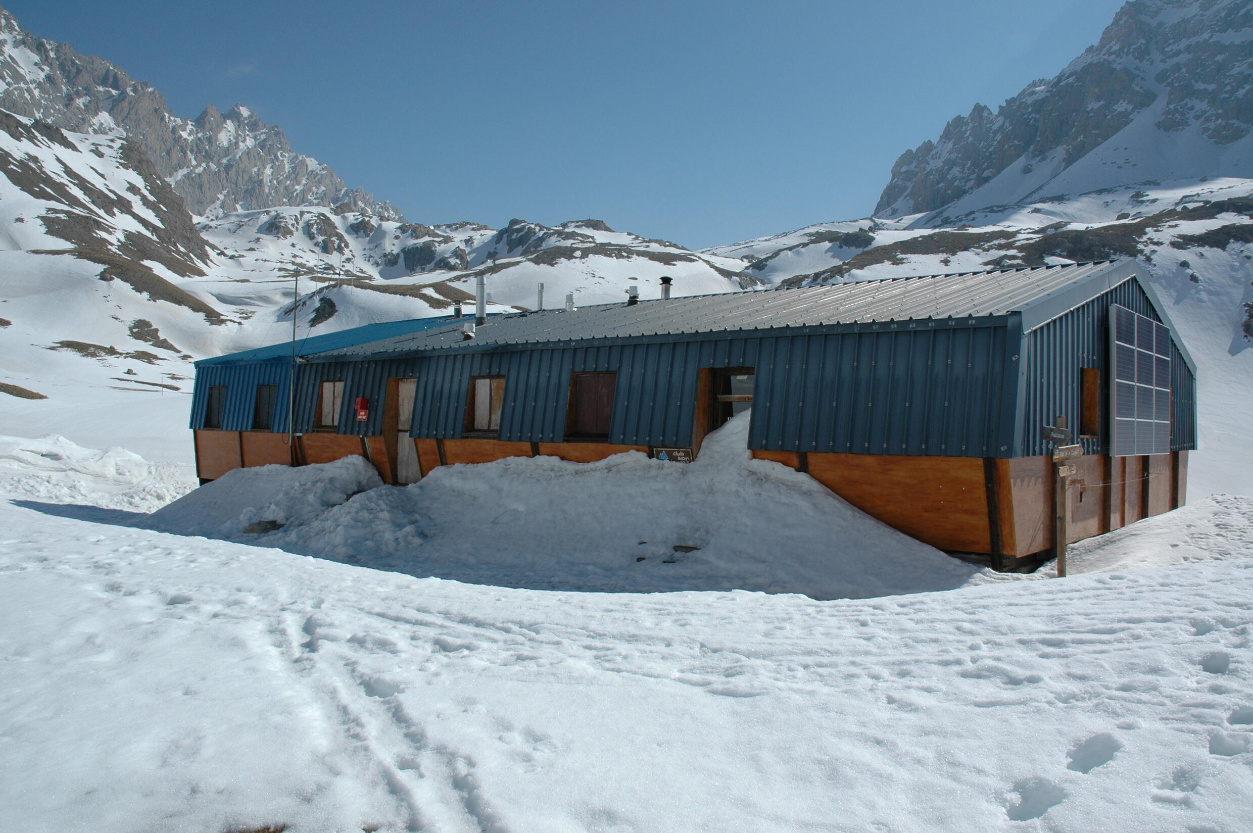
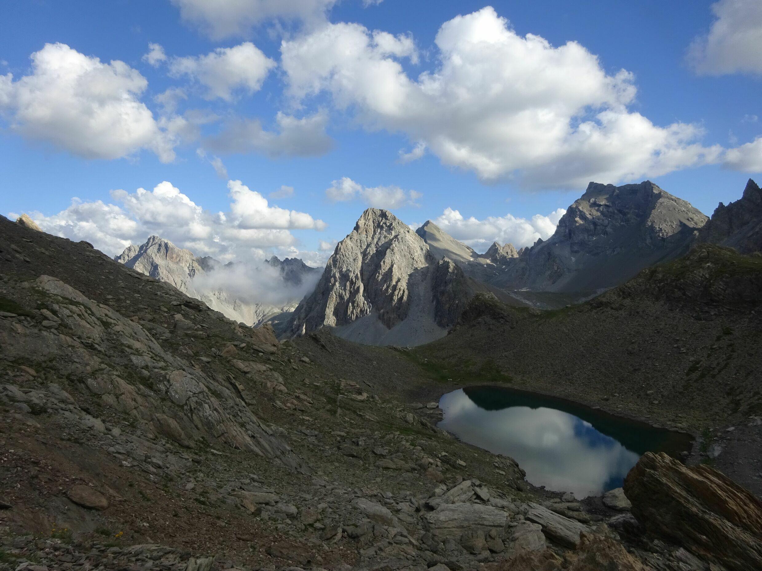
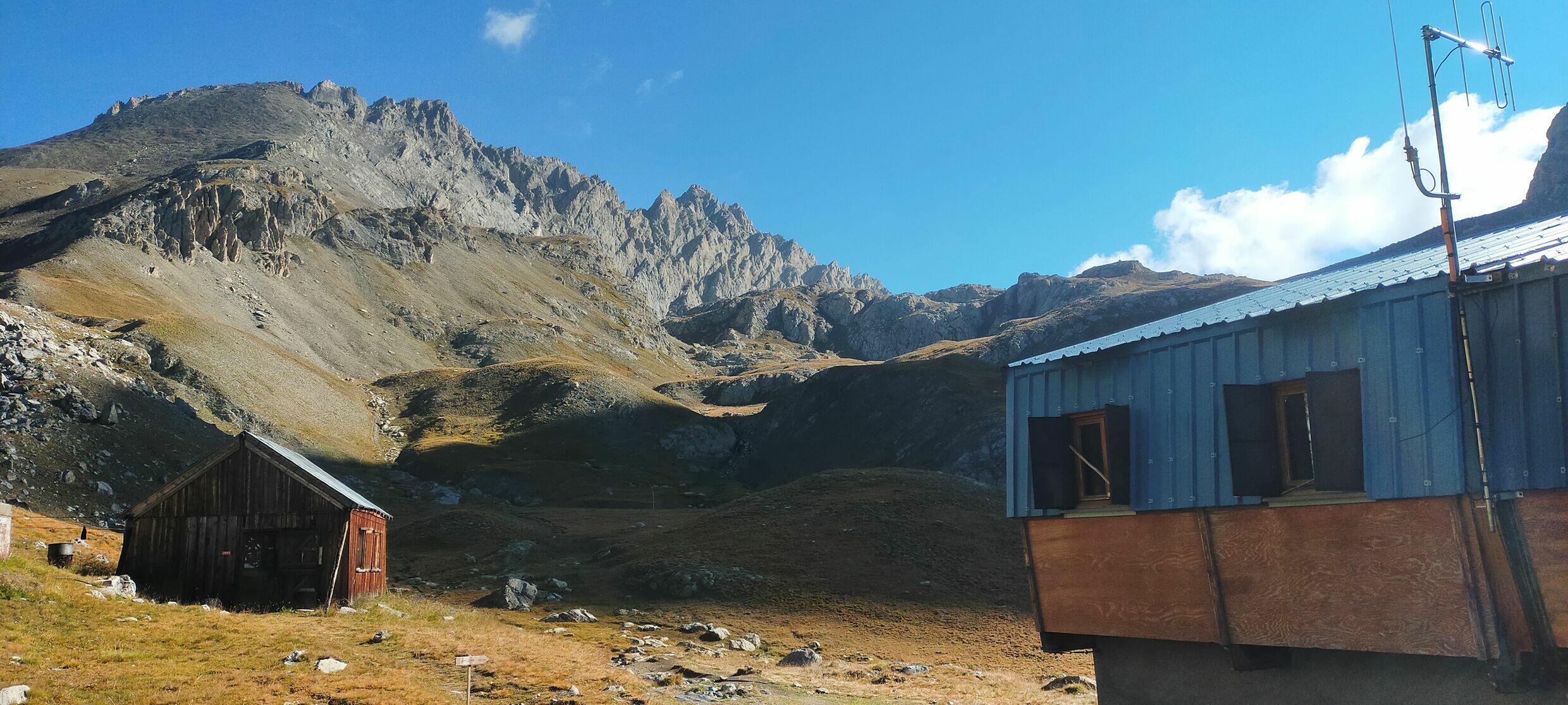
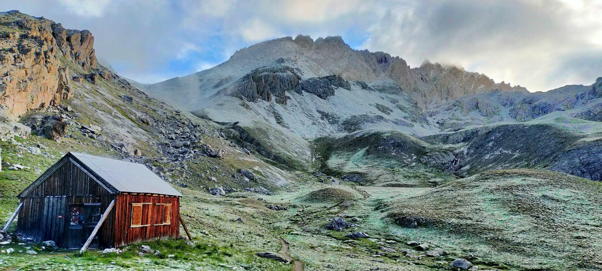
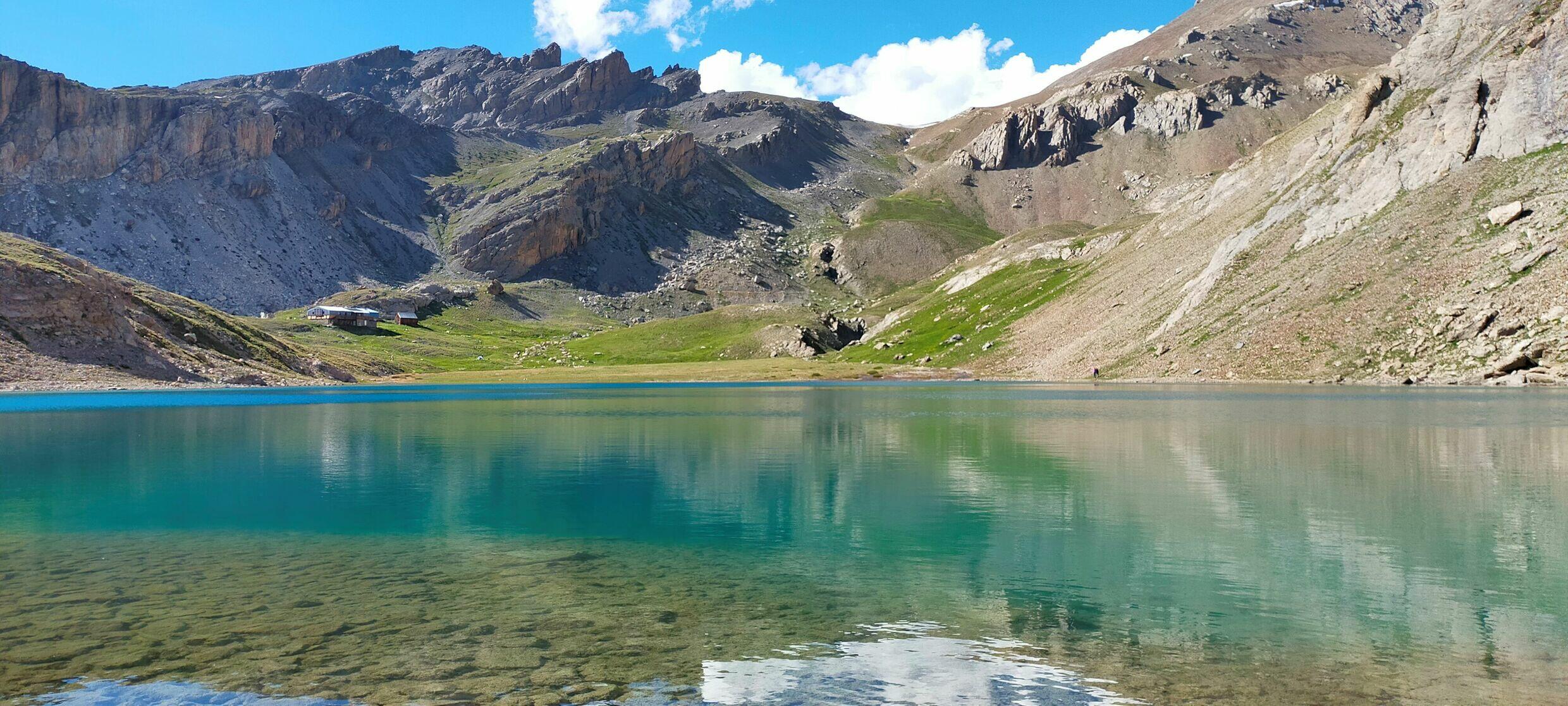
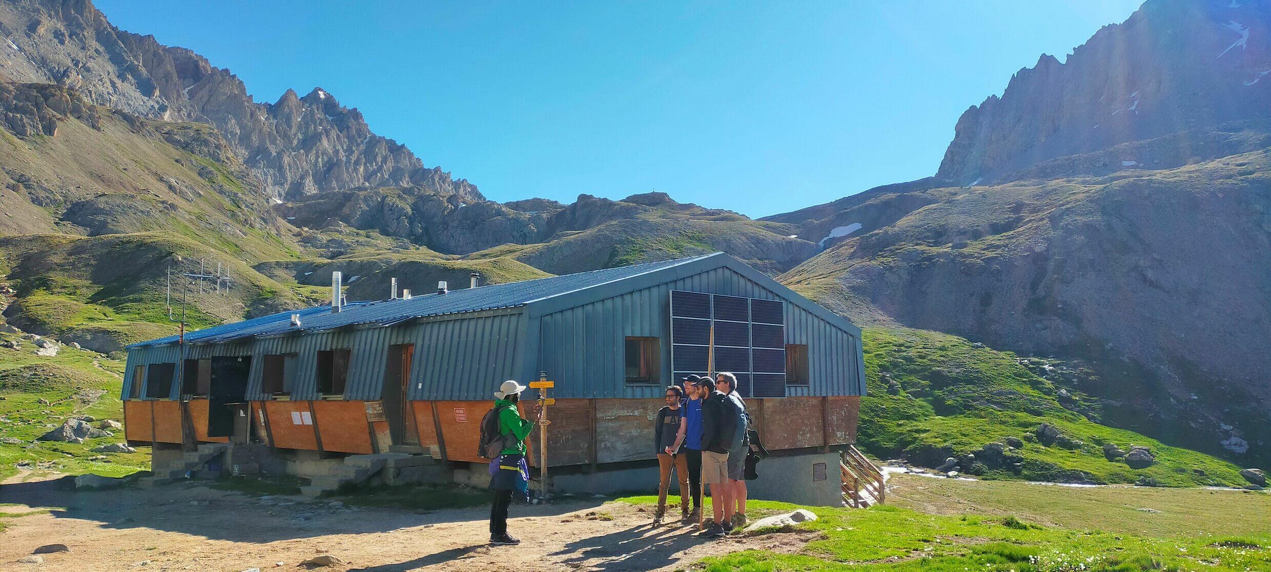
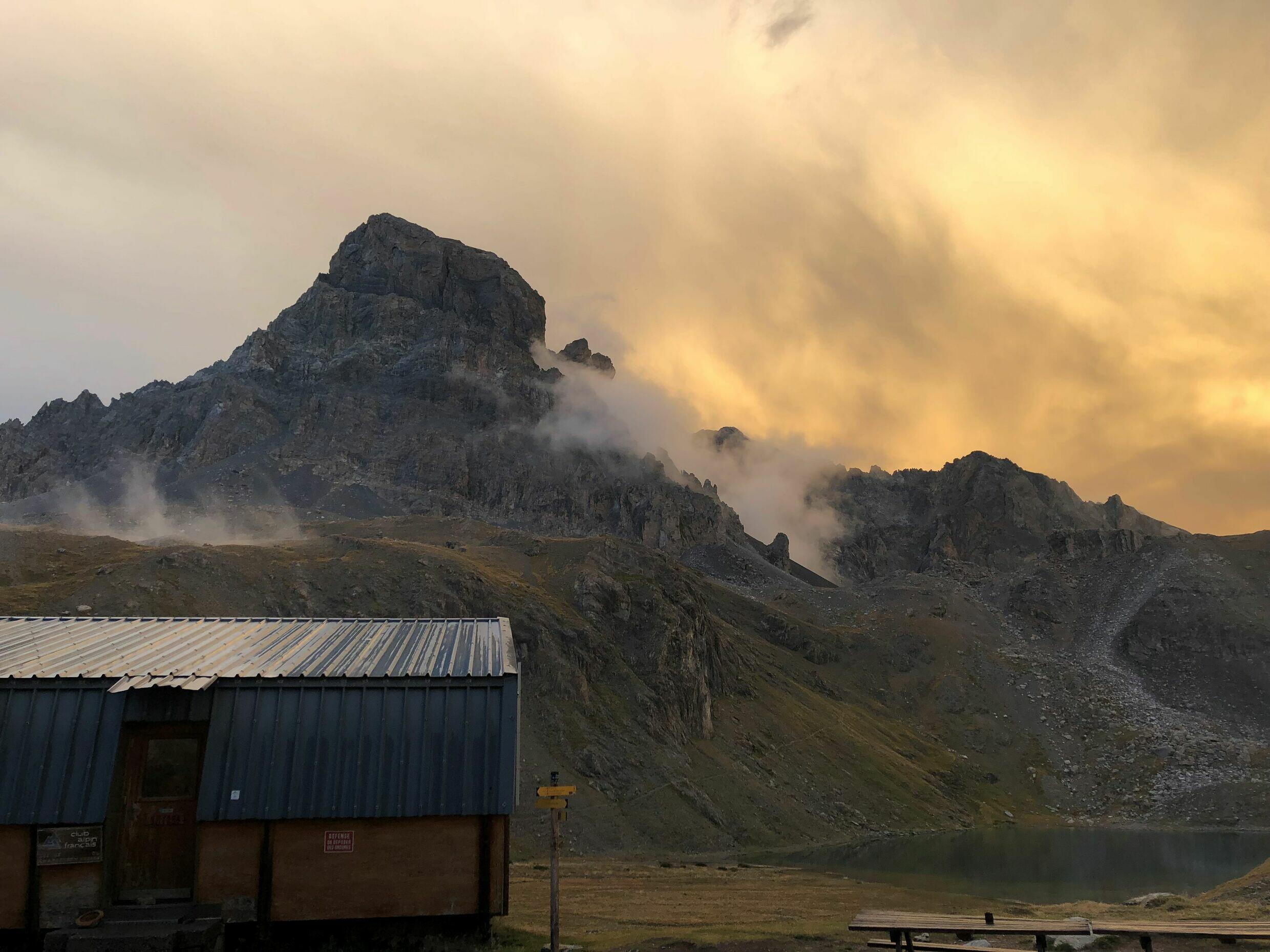
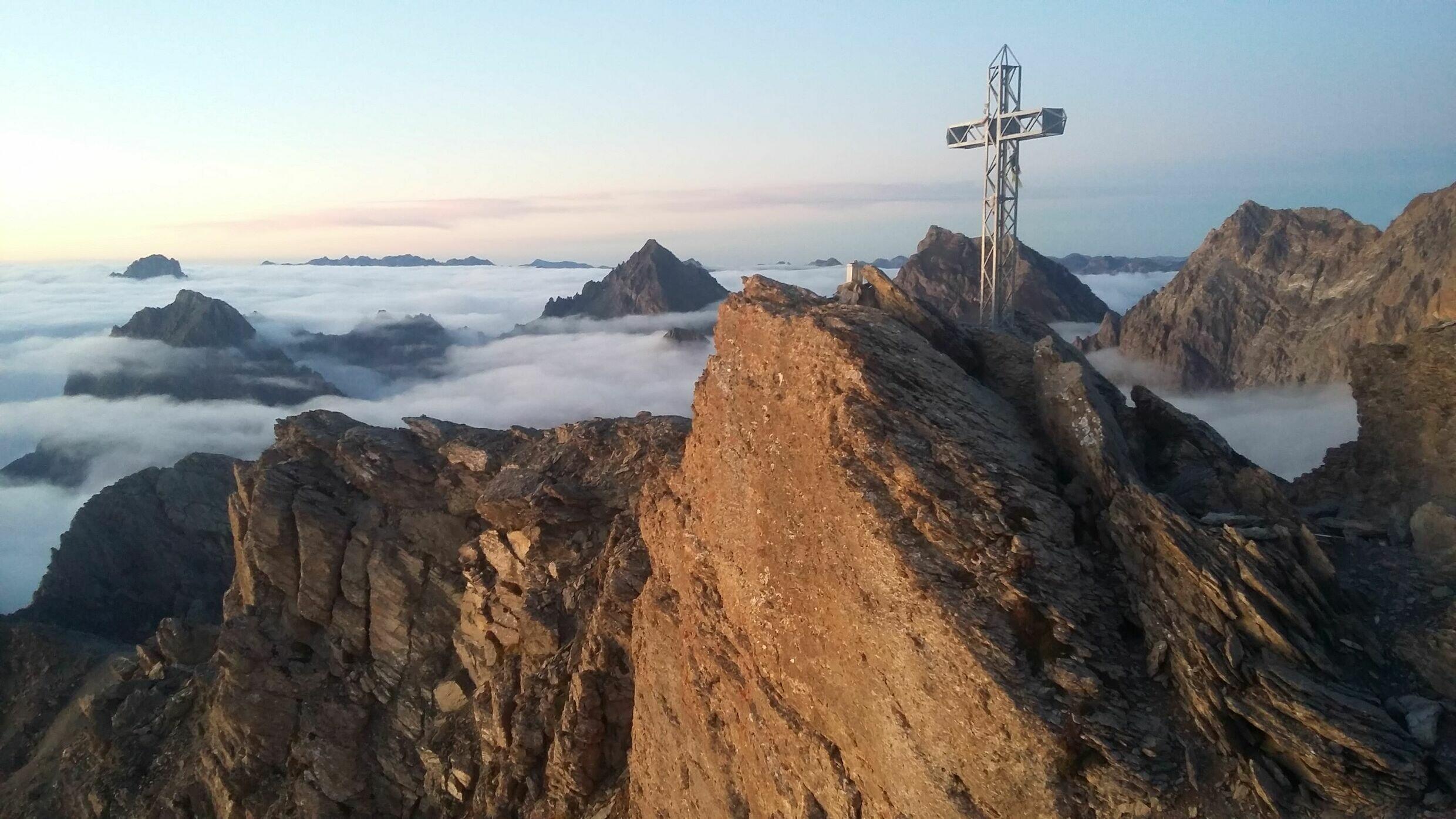
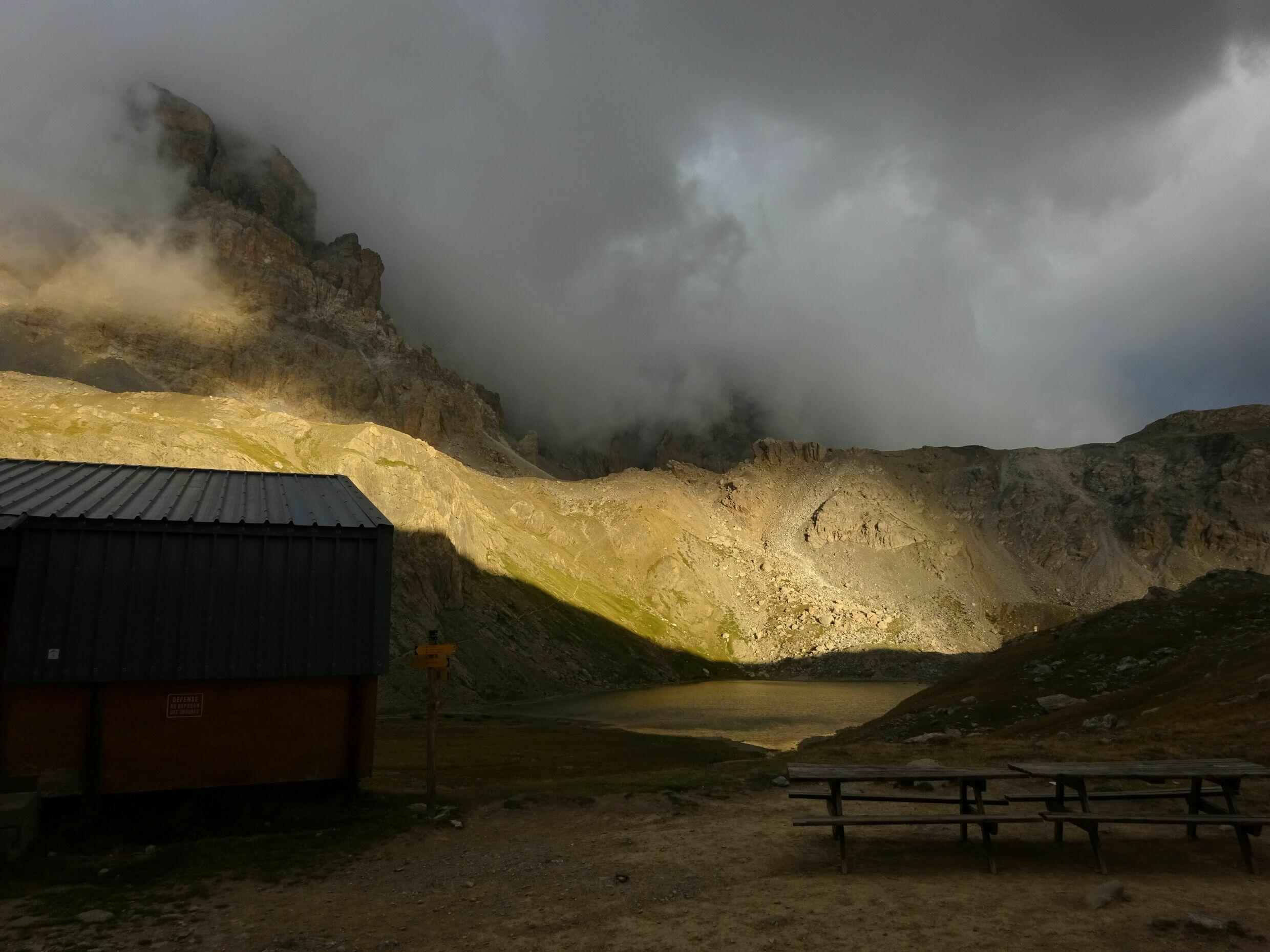
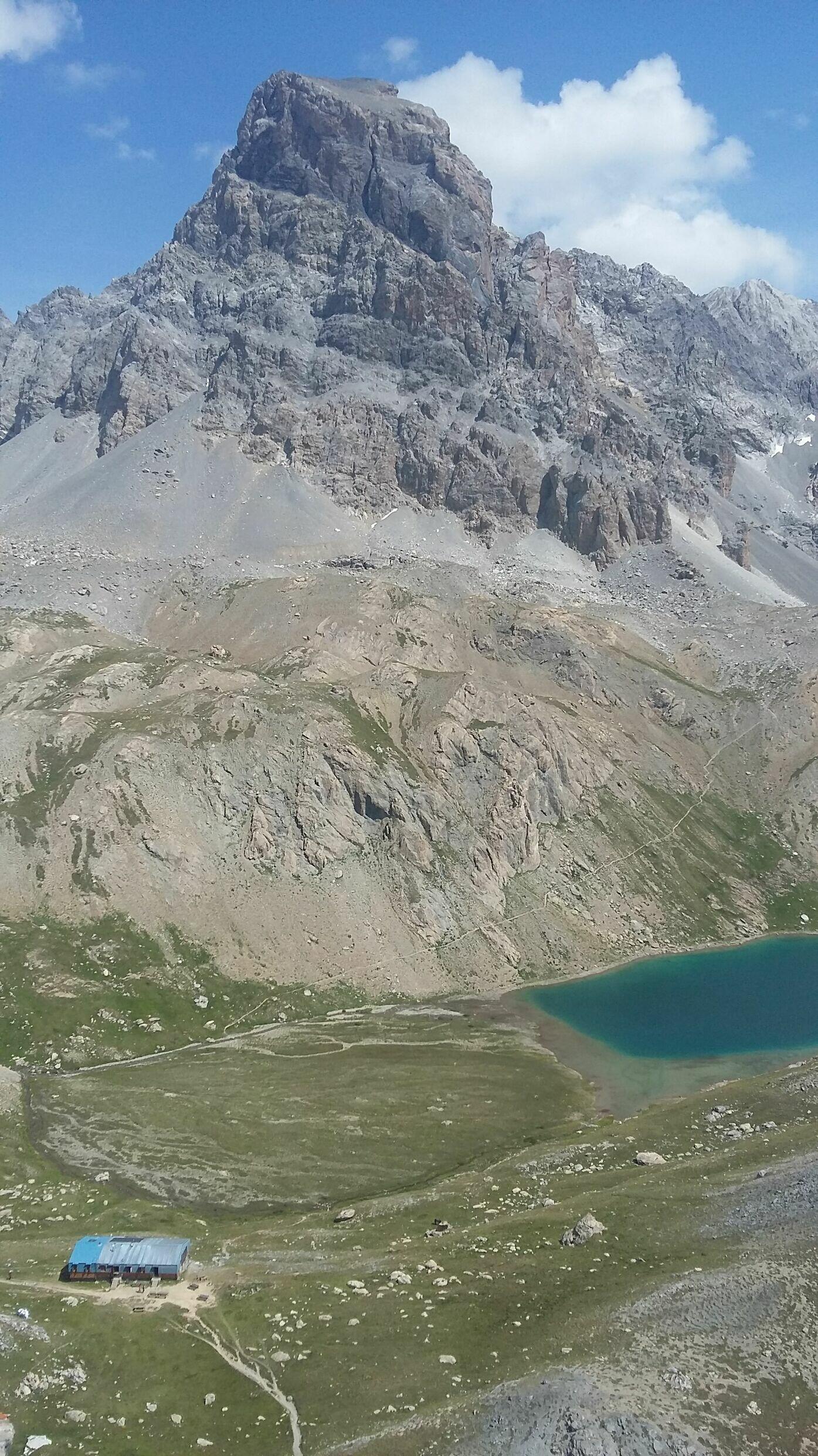
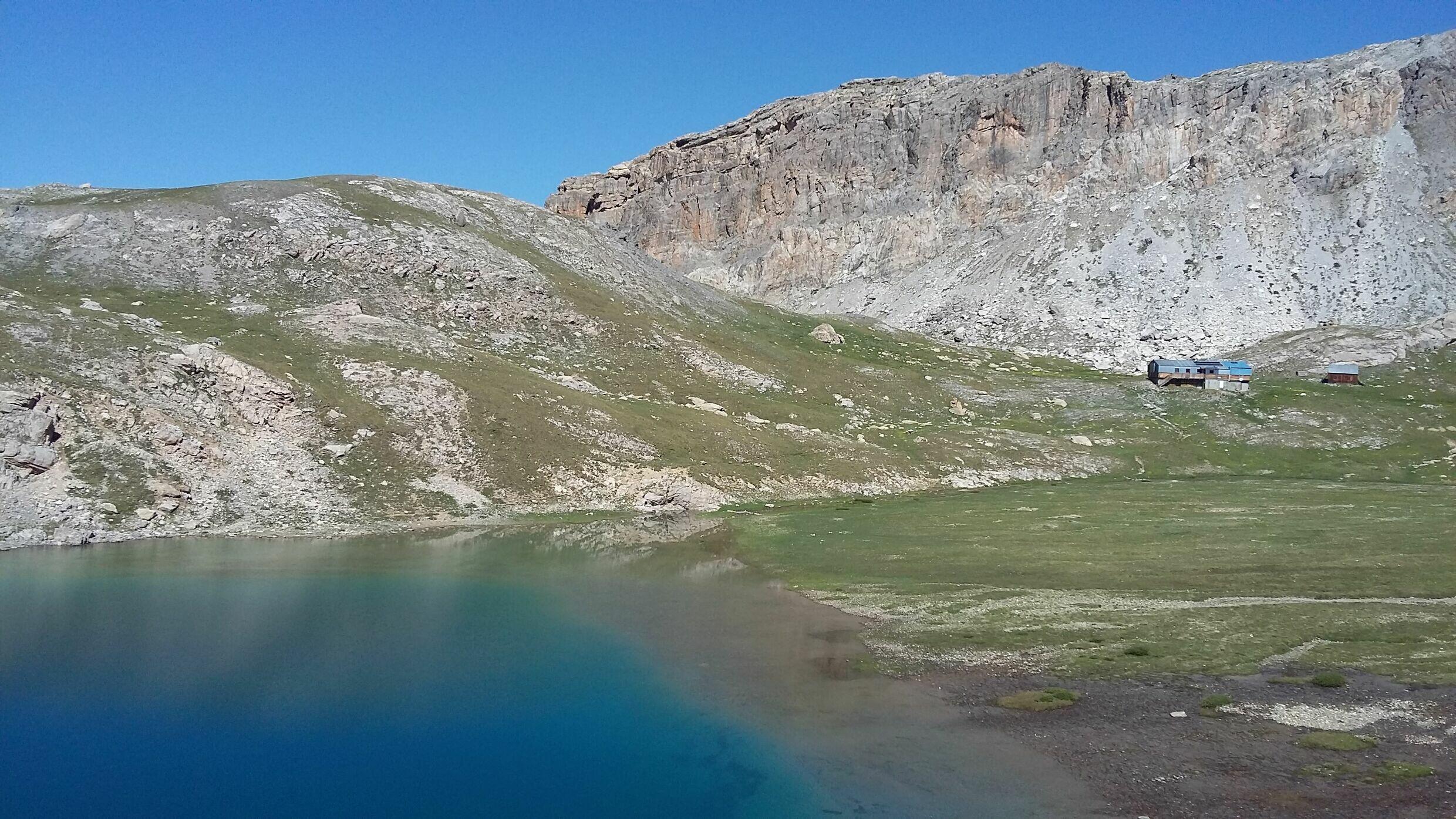
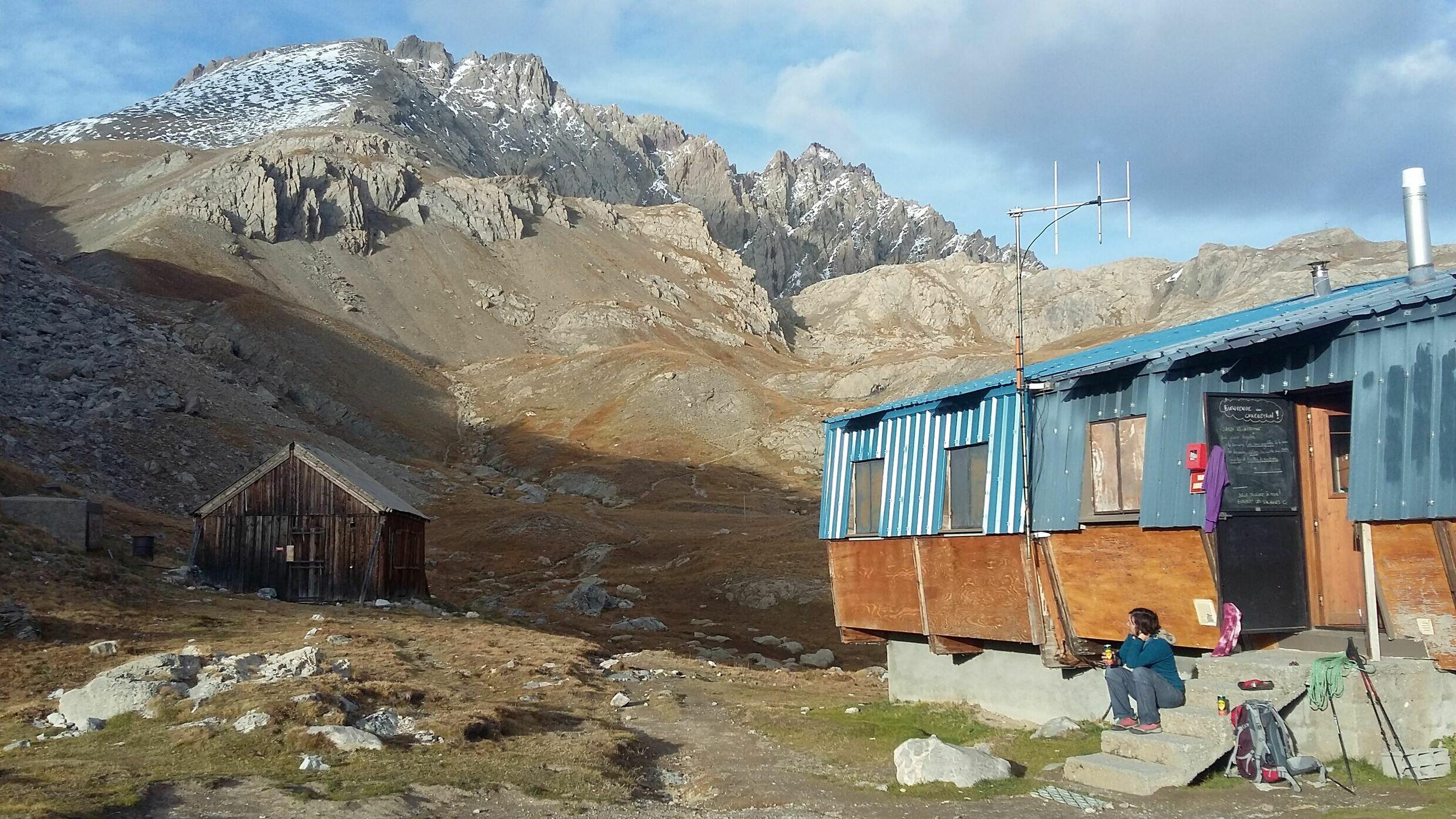
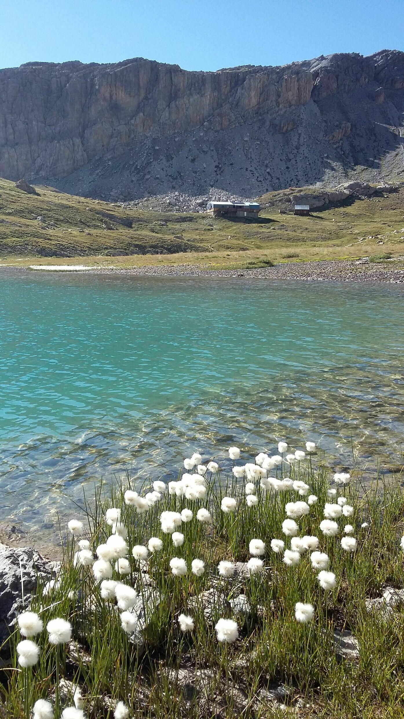
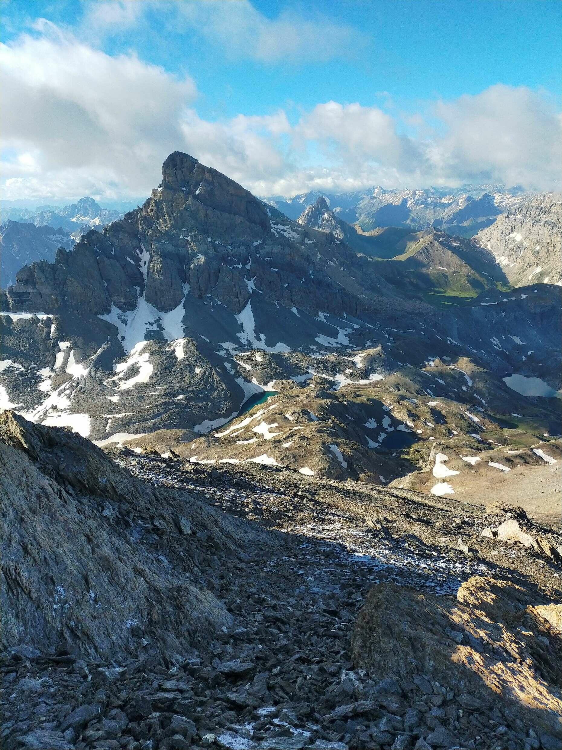
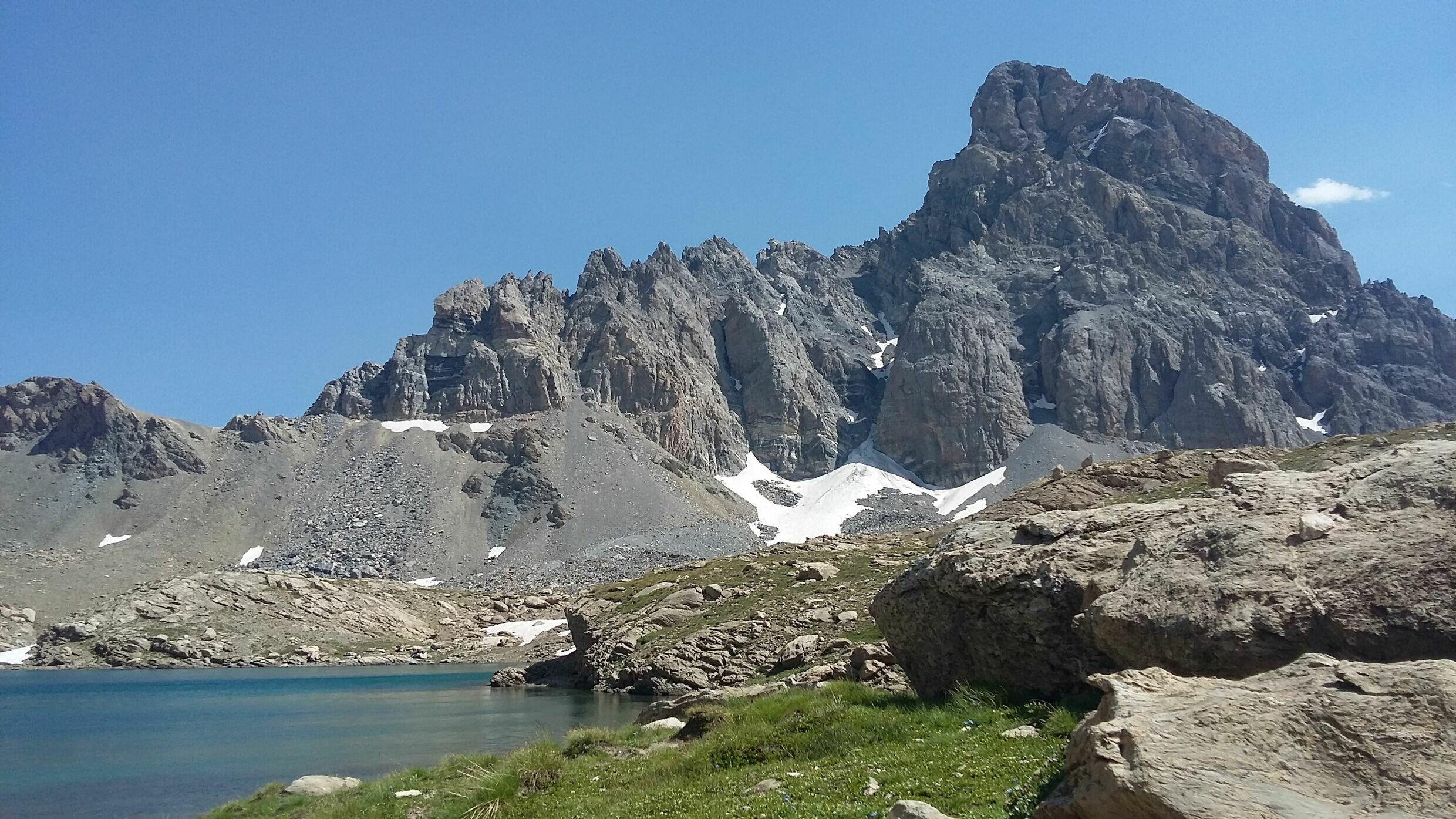
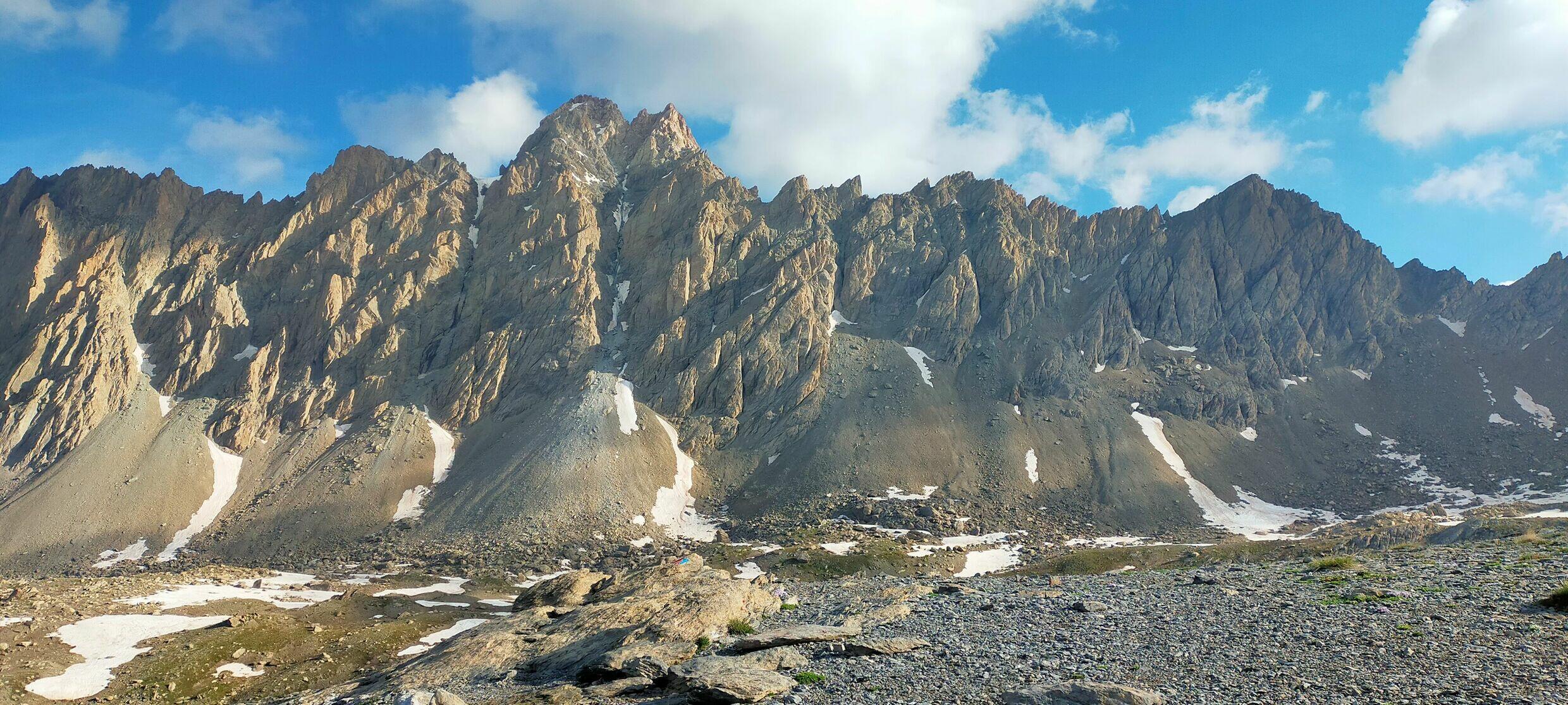
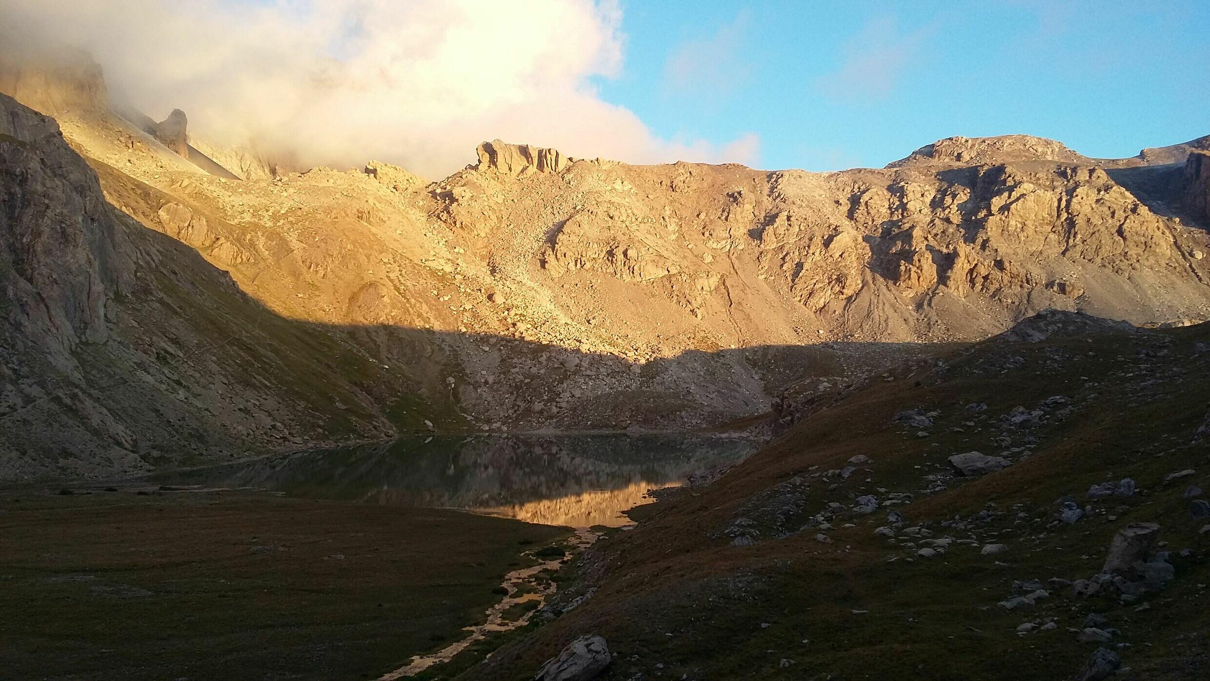
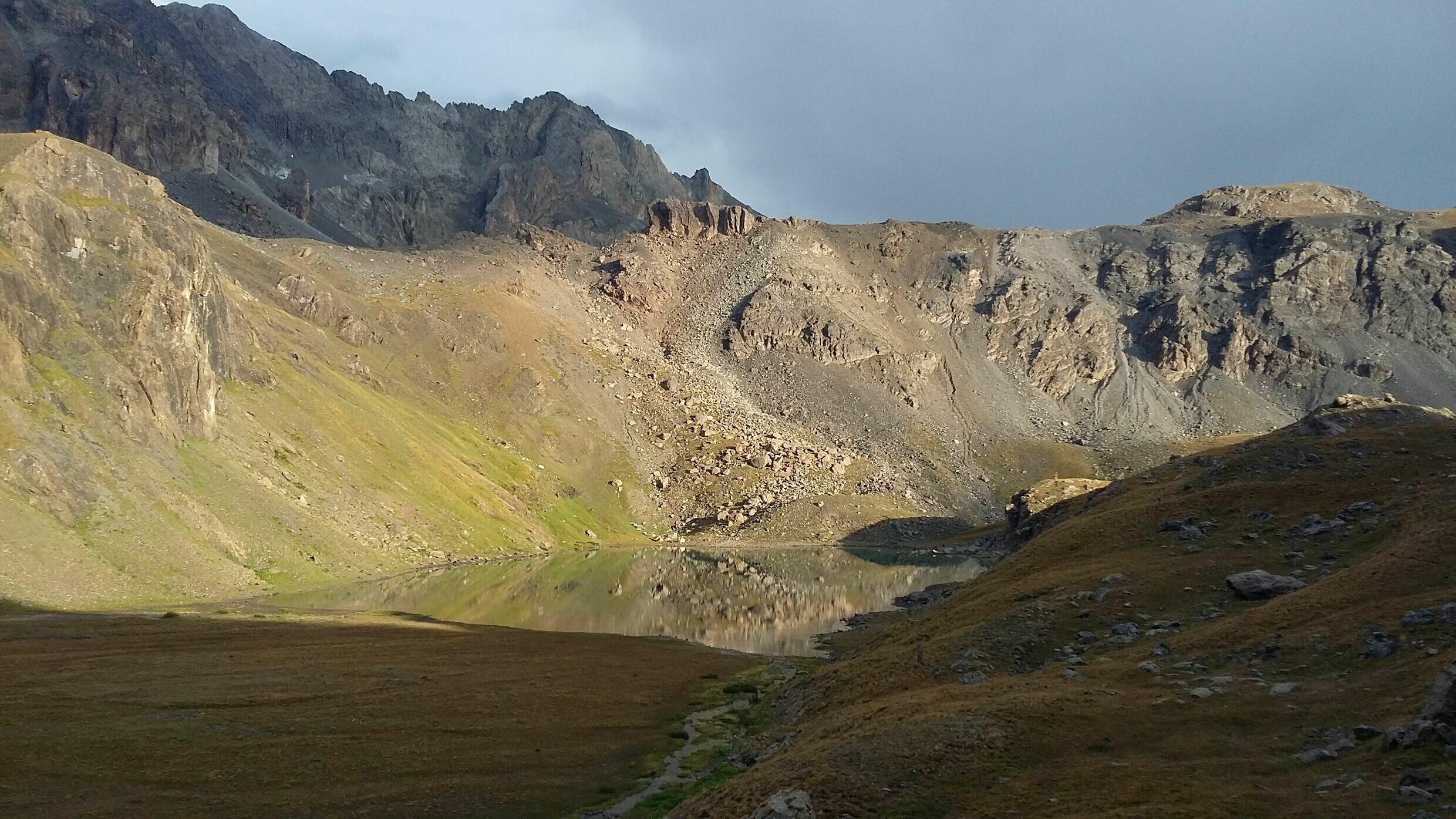
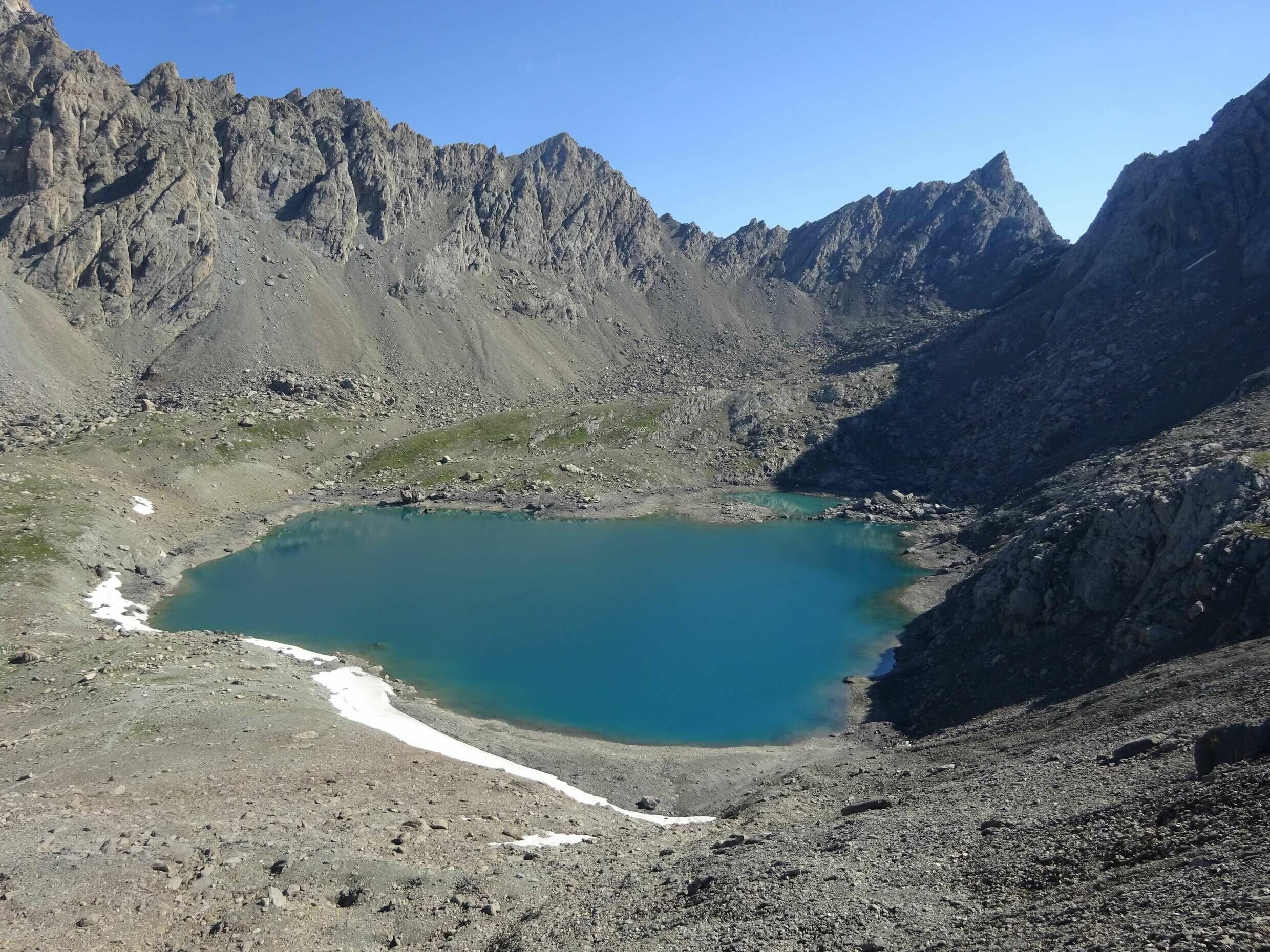
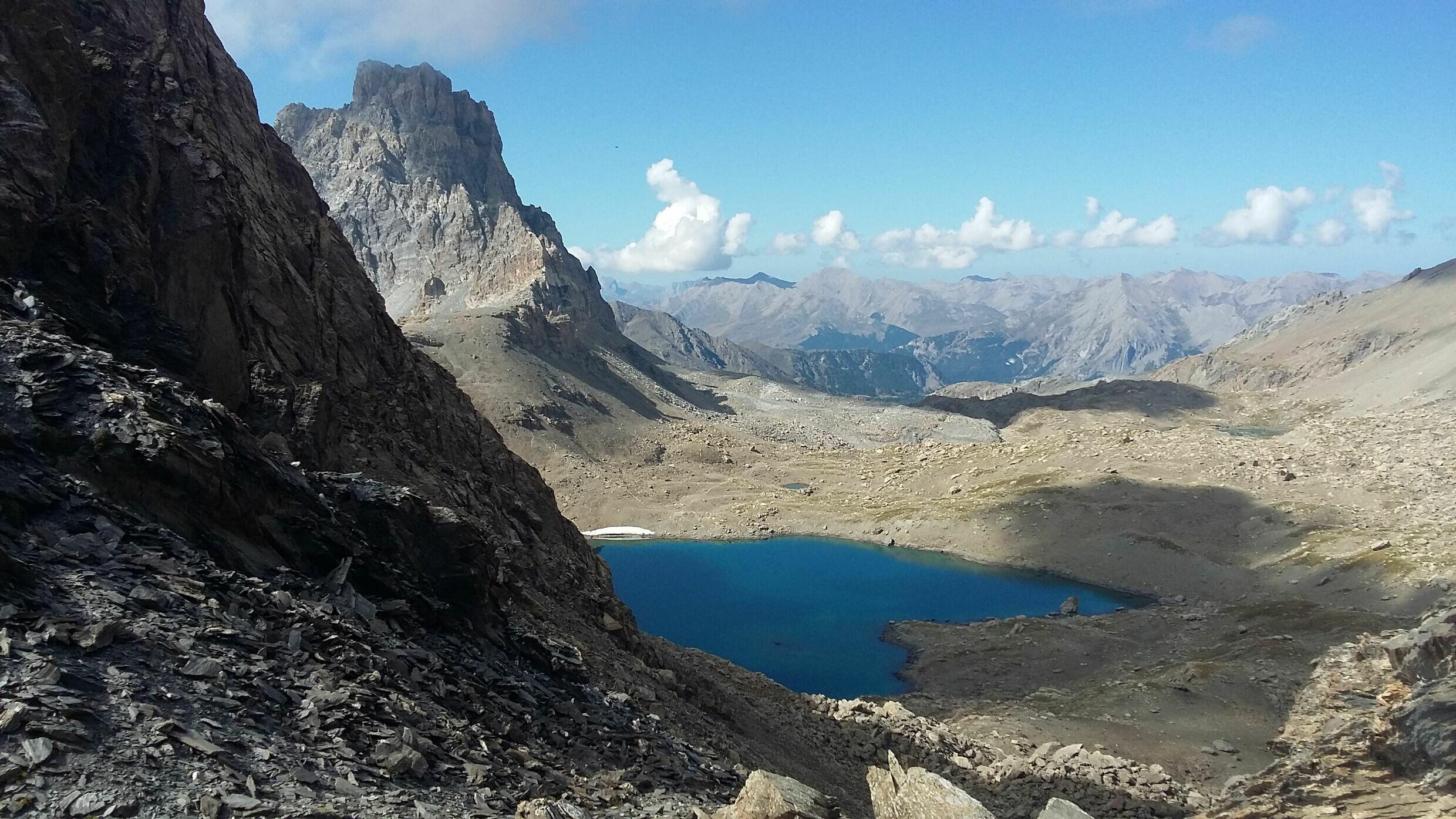
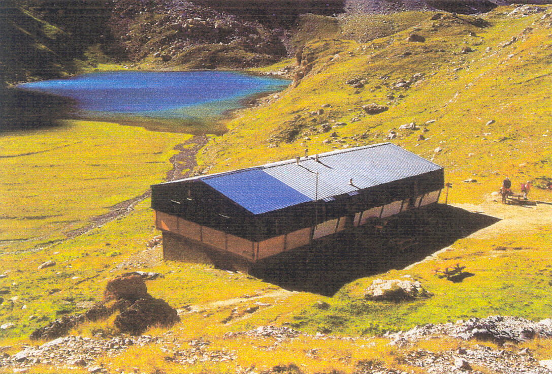
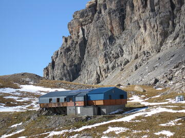
Dans la vallée de la Haute Ubaye, le refuge de Chambeyron est situé sur les rives du Lac Premier, au pied du Brec de Chambeyron qui culmine à 3 389 mètres.
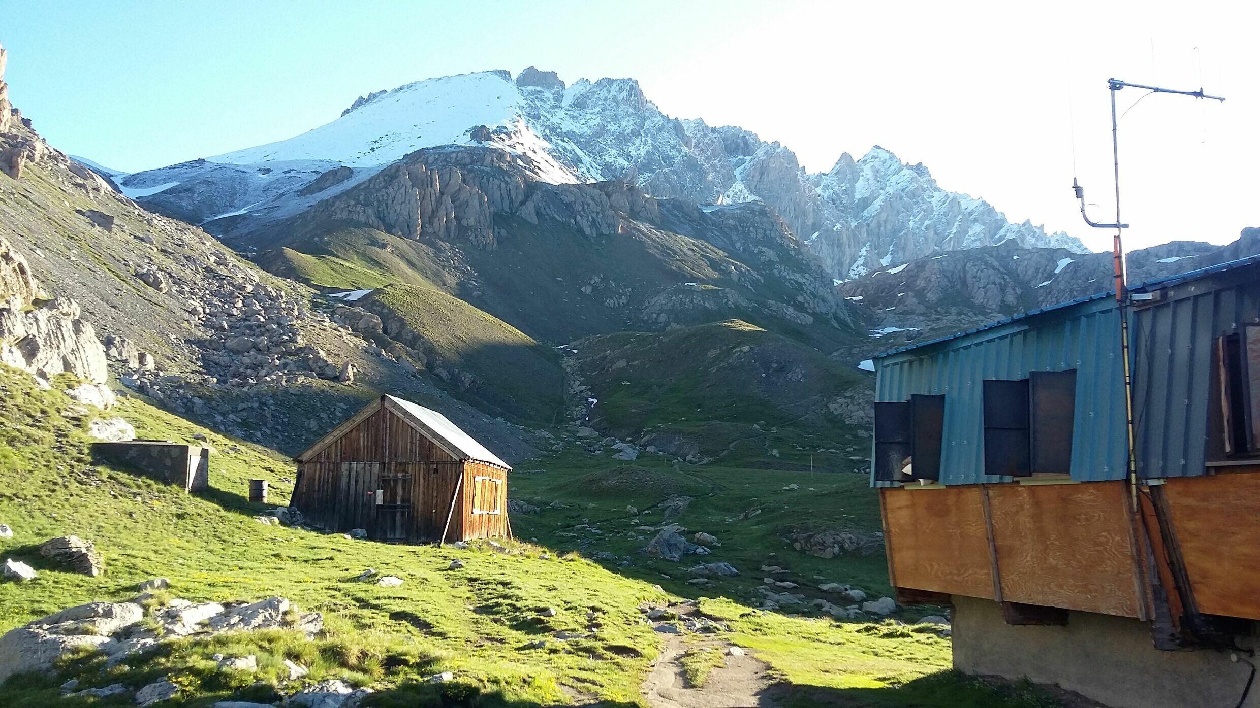
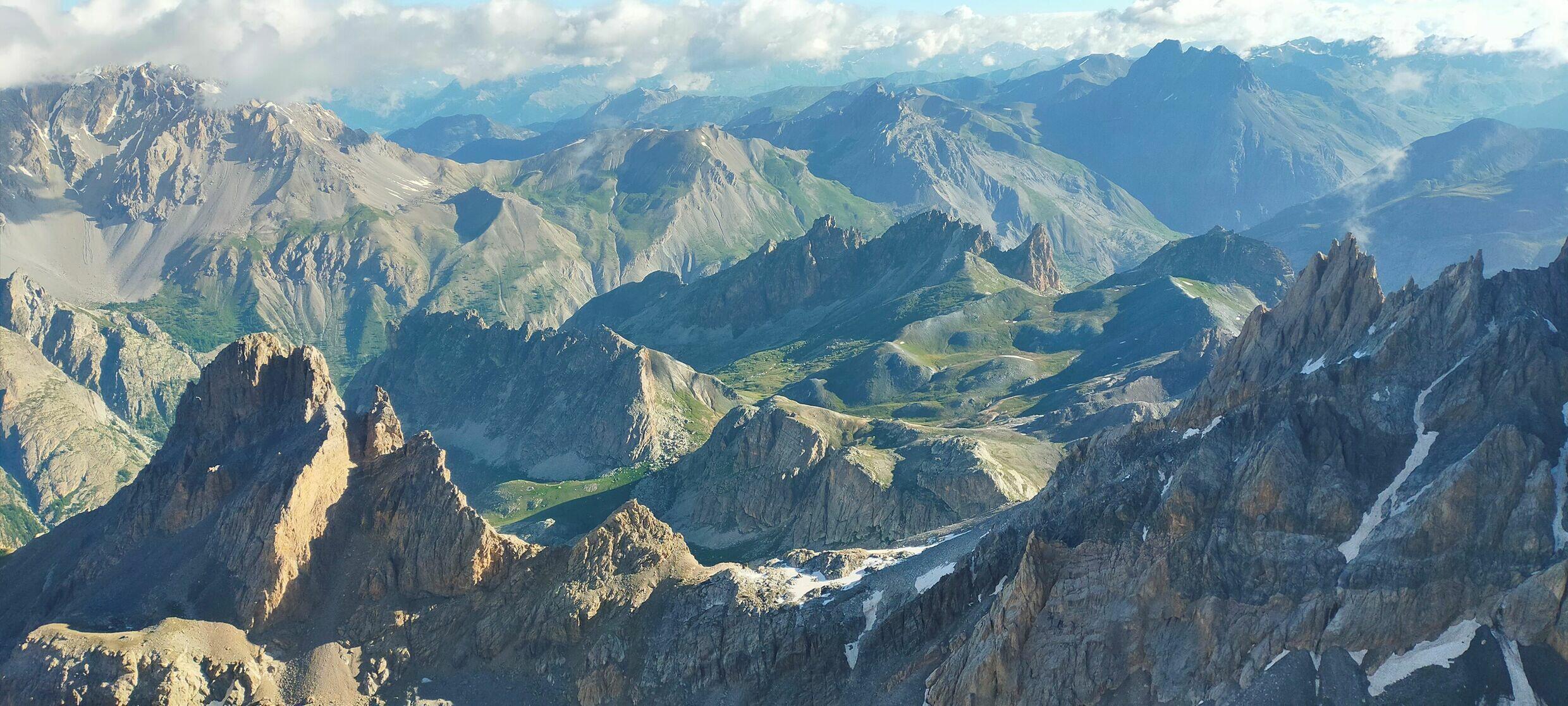
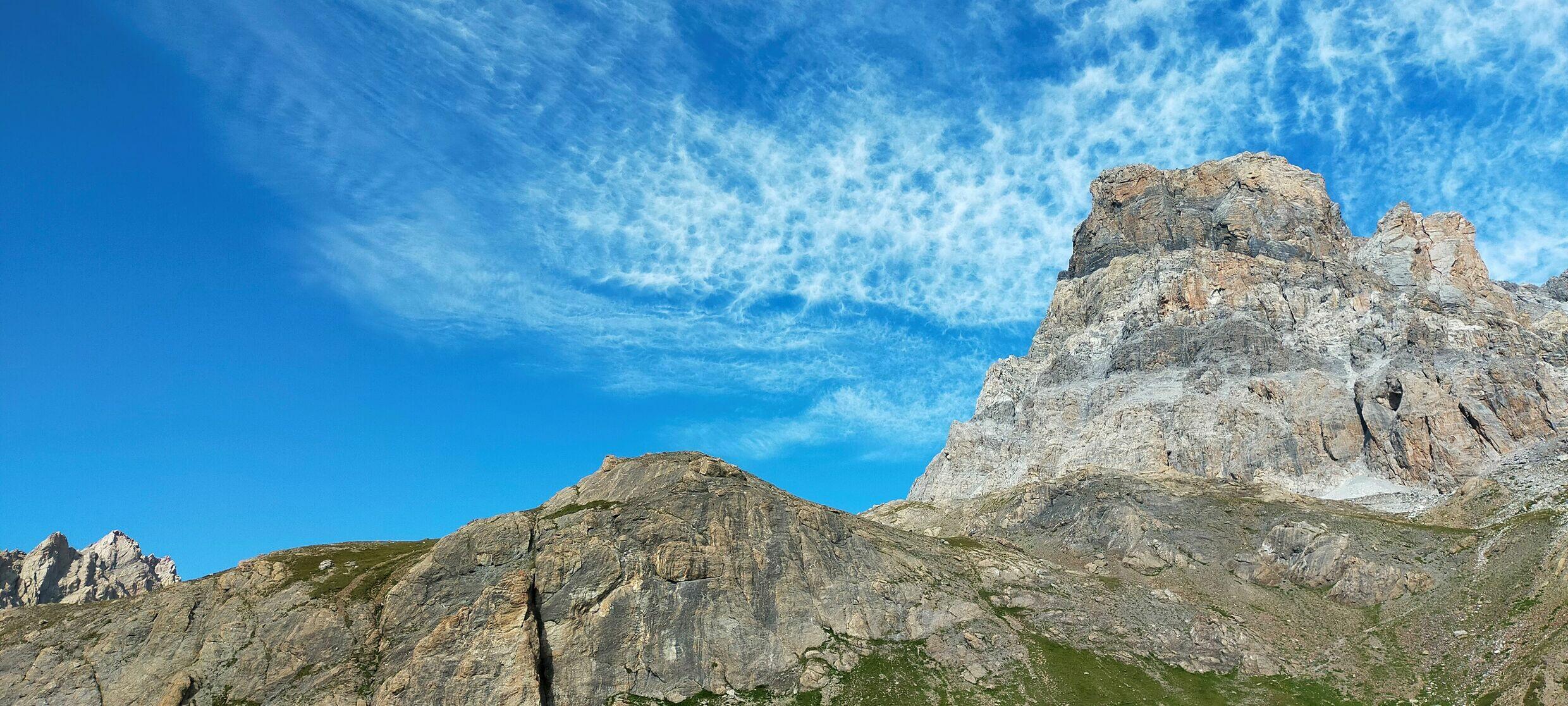
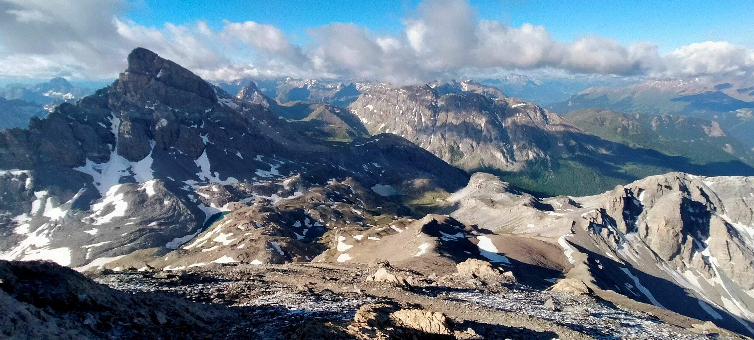
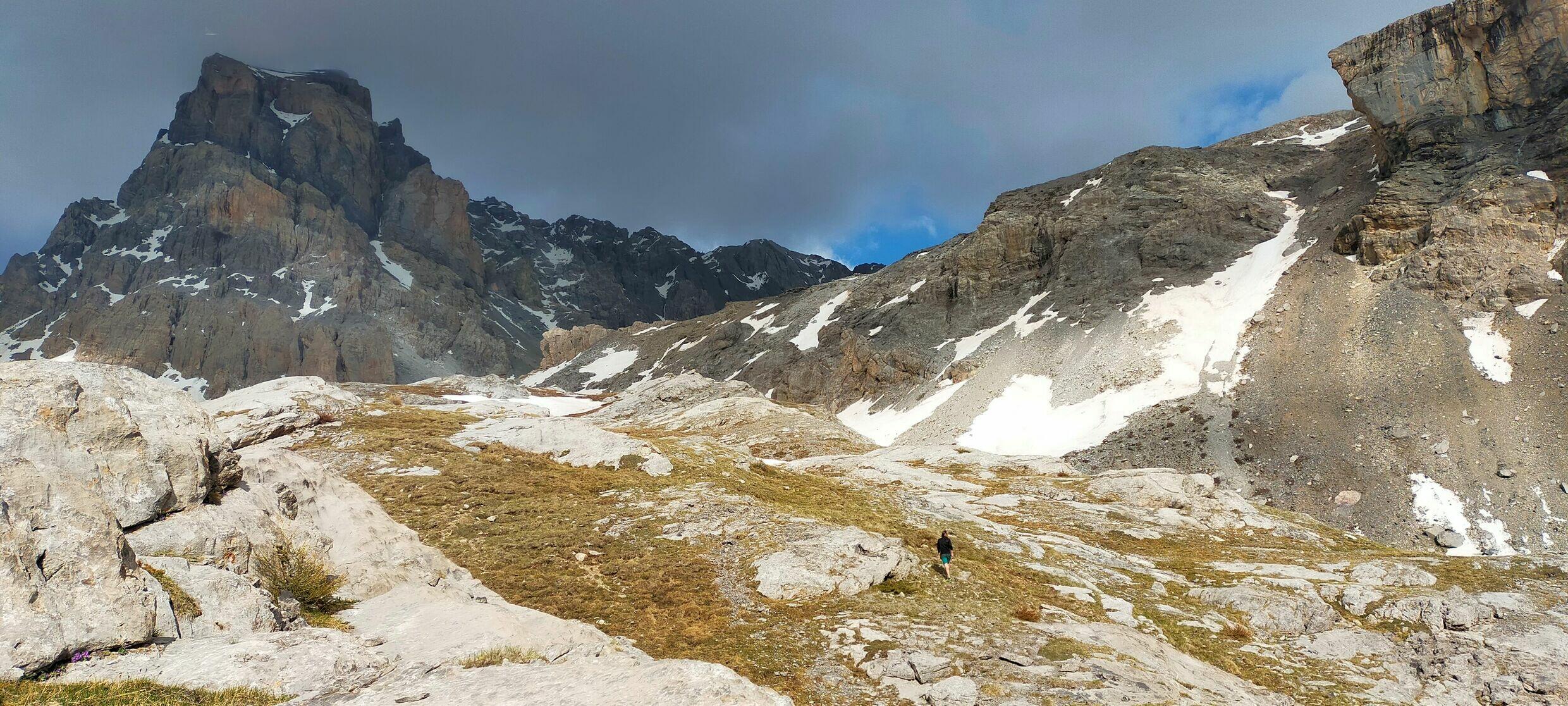
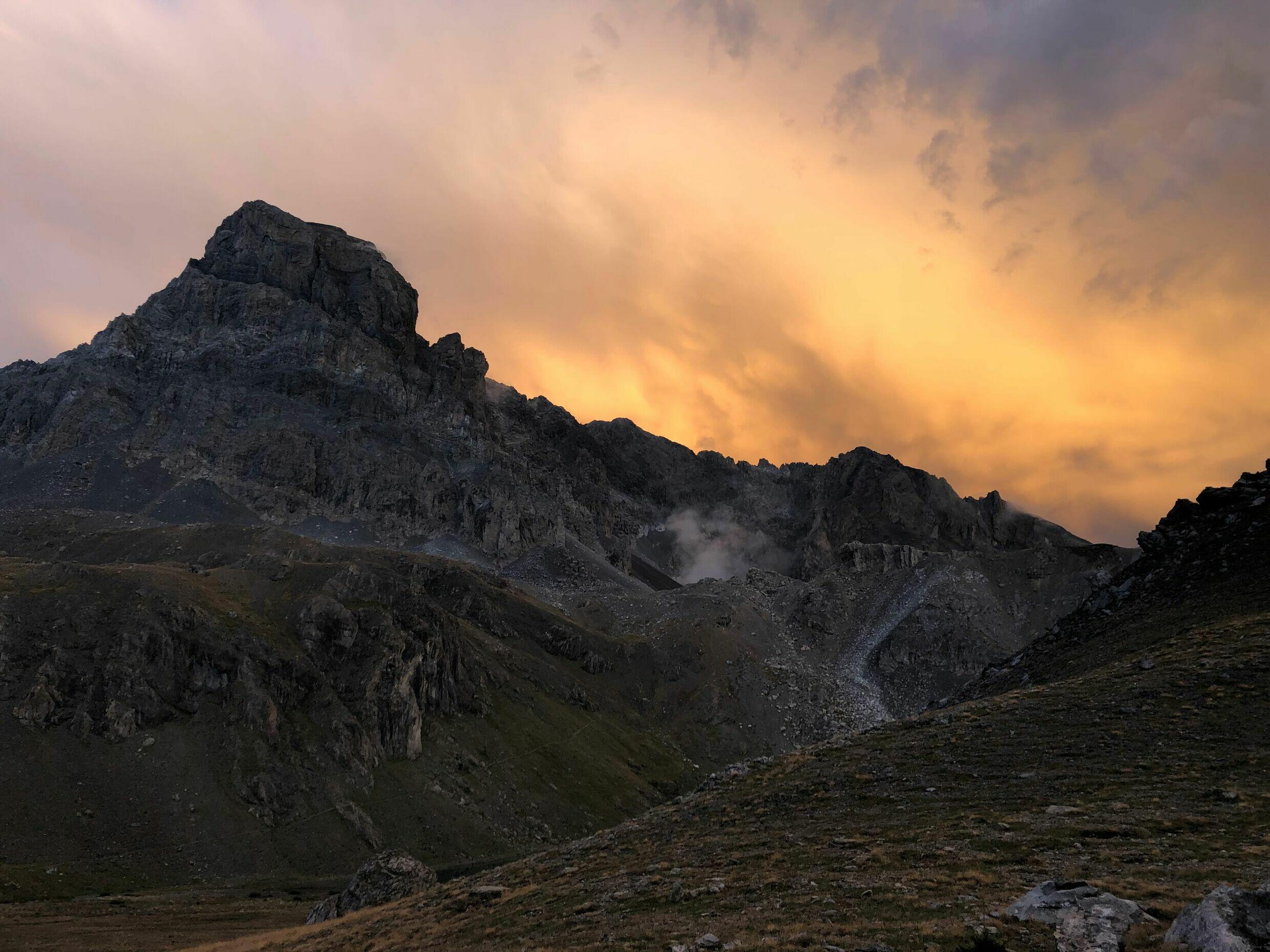
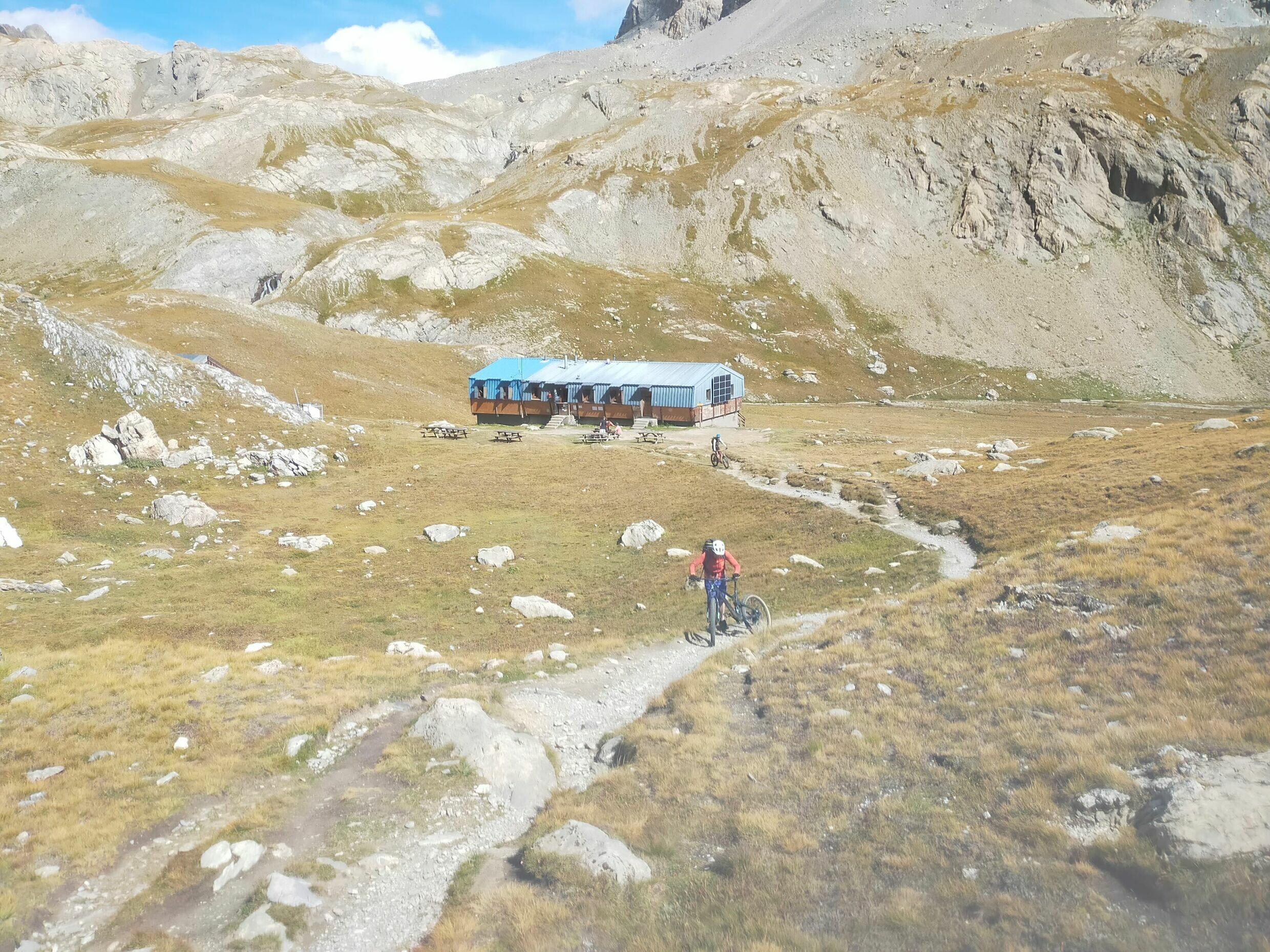
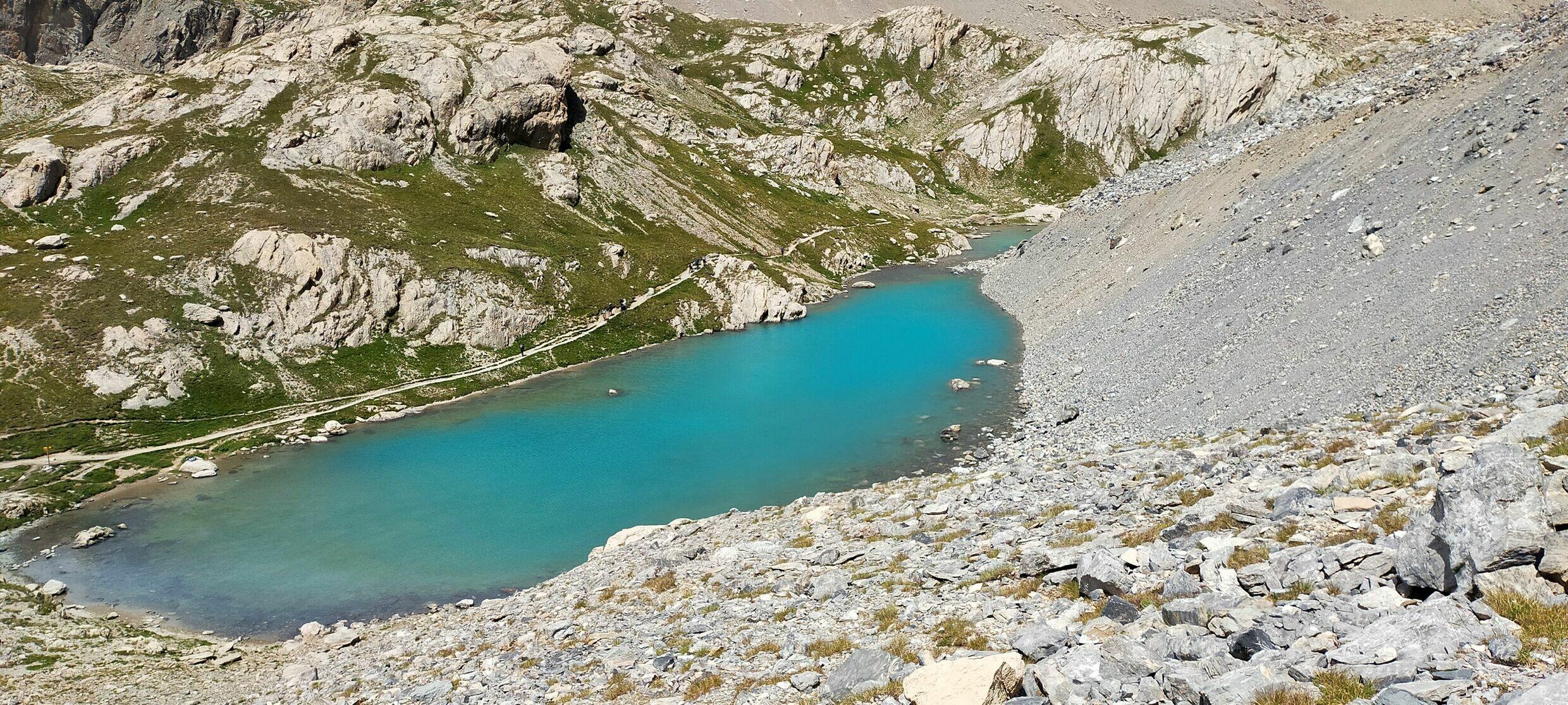
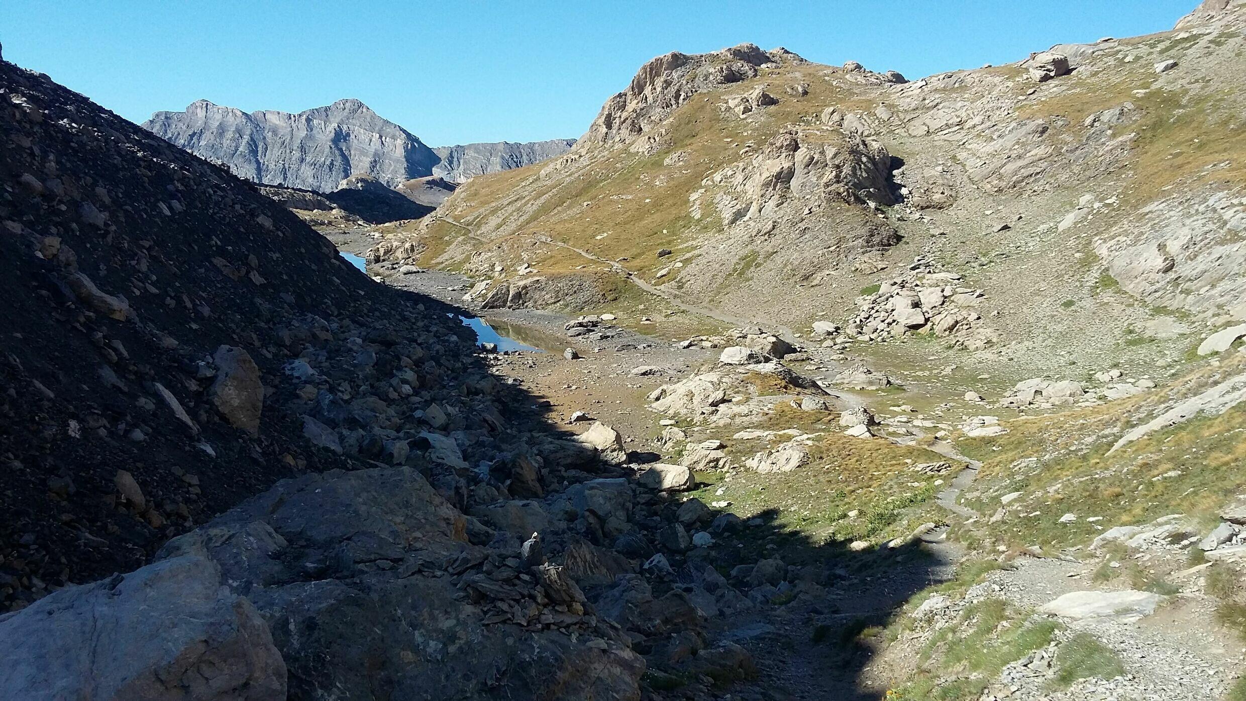
Ce refuge, dans une nature minérale préservée invite à la déconnexion. On peut y venir pour ne "rien" faire, si ce n'est regarder, écouter, sentir...profiter de la beauté des lieux, et de la bonne cuisine de la gardienne. Vous y croiserez des randonneurs car les itinéraires sont nombreux aux alentours du refuge. Les alpinistes se lanceront vers le Brec de Chambeyron ou les Aiguilles de Chambeyron. Pour les amateurs de vélo de montagne, la Haute-Ubaye est un superbe spot! Certains préfèreront la pêche dans les lacs de montagne. En hiver, ce massif des plus sauvages est à découvrir en ski de randonnée! Le refuge est une étape de nombreux raids ou boucles de durée variable en Ubaye ou entre Queyras, Val Maïra et Mercantour. Ou sur la traversée des Alpes!
04530
SAINT PAUL SUR UBAYE
Marie LY
GPS (UTM WGS84) : 32T 328060 4933032
Coordonnées GPS décimales : 44.530117, 6.836070
Carte IGN : 3538 ET
De mi-juin à mi-septembre
Langues parlées : Anglais, Espagnol


ALPINISME : Aiguille de Chambeyron (différents itinéraires) - Brec de Chambeyron
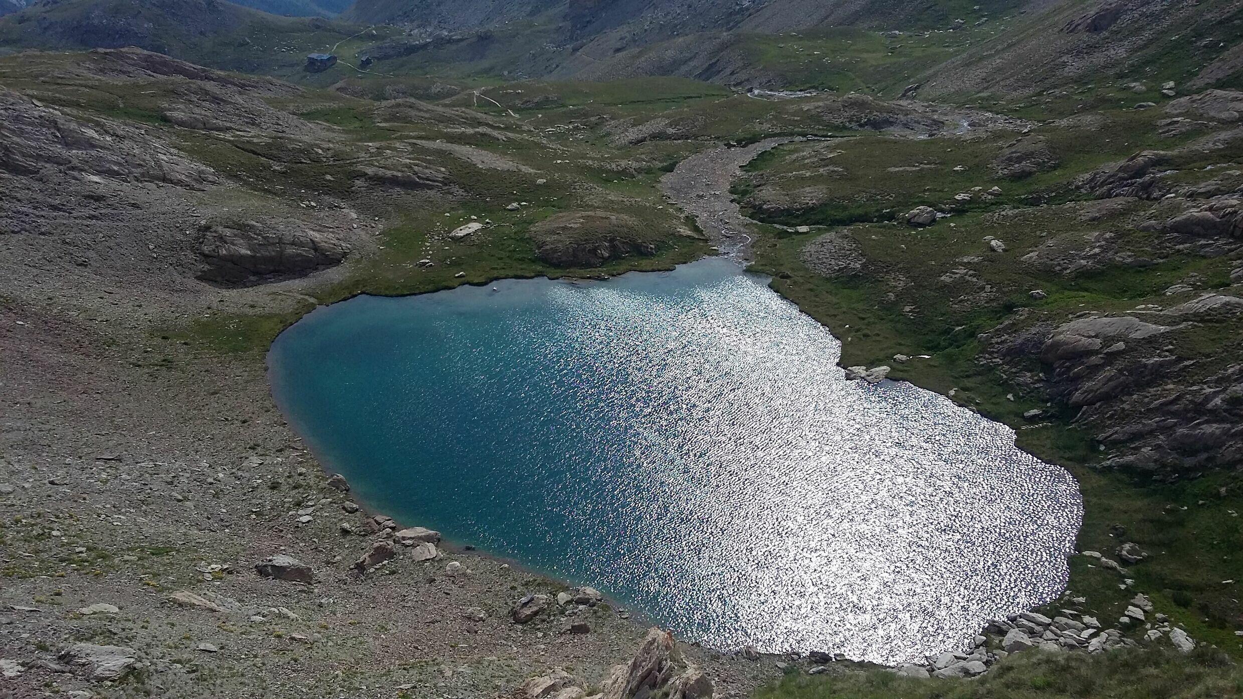
RANDONNEE : Lac des 9 Couleurs - Tête de la Frema - 1 étape sur la traversée des Alpes, Larche-Briançon
SKI : Tour du Brec de Chambeyron - Pointe d'Aval - Traversées vers Maljasset, Larche, le Val Maïra
+ sur sud.alpes-refuges.fr
VELO DE MONTAGNE
PARAPENTE
PECHE
Cocher ou décocher les groupes d'informations que vous souhaitez voir apparaître sur la carte.
Seuls les éléments liés "à l'entrée" (exemple : circuit X) sur laquelle vous êtes venus sur la carte sont affichés.


 Chambeyron : Fouillouse - Accès direct