Ref.Maljasset-Col de Girardin A/R 1j

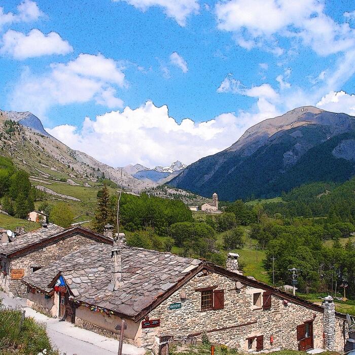
ALPES - Queyras Sud-Parpaillon-Ubaye-Orrenaye
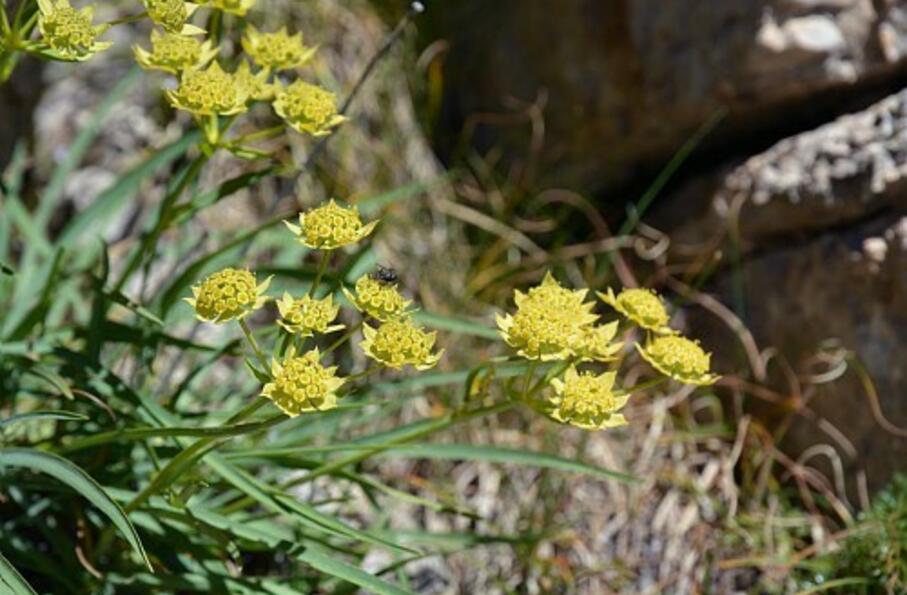
A pied

1 jour

6 km

800 m

800 m

Difficulté 3

3637OT

à traduire (en)

2699 m

Durée de l'étape la plus longue
06:00:00

The pass Girardin offers a panoramic view of lake Sainte-Anne, tip of Font-Sancte and summits of Queyras.

Round trip over one day: departure and return to the mountain hut of Maljasset

Tick and untick to personalise your map. You will only see elements linked 'at the start' on your map (See path X)

Loading
Ski-ing conditions :
Orientation :

Downloads
Stages A pied
  • Start:CHALET DE MALJASSET (FFCAM)
  • End:CHALET DE MALJASSET (FFCAM)
  • Duration:06h00
  • Dénivelé positif en été:800 m
  • Dénivelé négatif en été:800 m
  • Distance en été:5.7 km
  • Remarks:
    Description:
    From the mountain hut of Maljasset (1903 m), join the road and take the pathway that goes up almost in front of the mountain hut.
    After an ascent in meadows, the pathway will turn to the left for a traverse in arid terrain, then face the slope for a steep climb up to the valley of Séchoirs. From there it joins the GR5. Take it on the right to continue the ascent along the left orographic bank of the valley. Don't take shortly after the pathway that goes to the right, but continue on the GR5, pass the pastoral hut of Girardin, and reach the bottom of the mountain pass (2600 m). A last climb in zizgags will allow you to reach the pass of Girardin (Col de Girardin, 2699 m)
    The return to the mountain hut takes place via the reverse route.

<< < > >>

You can book your accommodation if their availabilities show. If not, there is a link to websites where you can make your reservation.