Ref.Maljasset-Lacs de Marinet A/R 1j

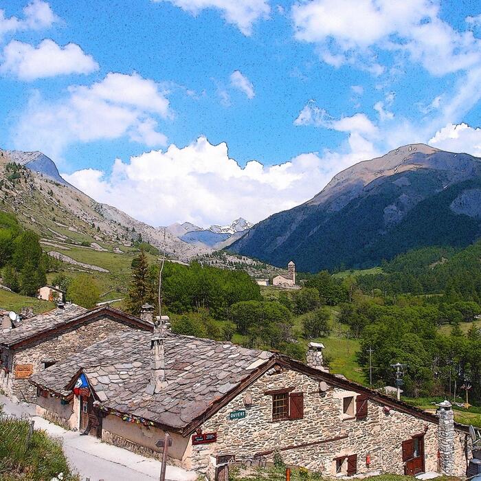
ALPES - Queyras Sud-Parpaillon-Ubaye-Orrenaye
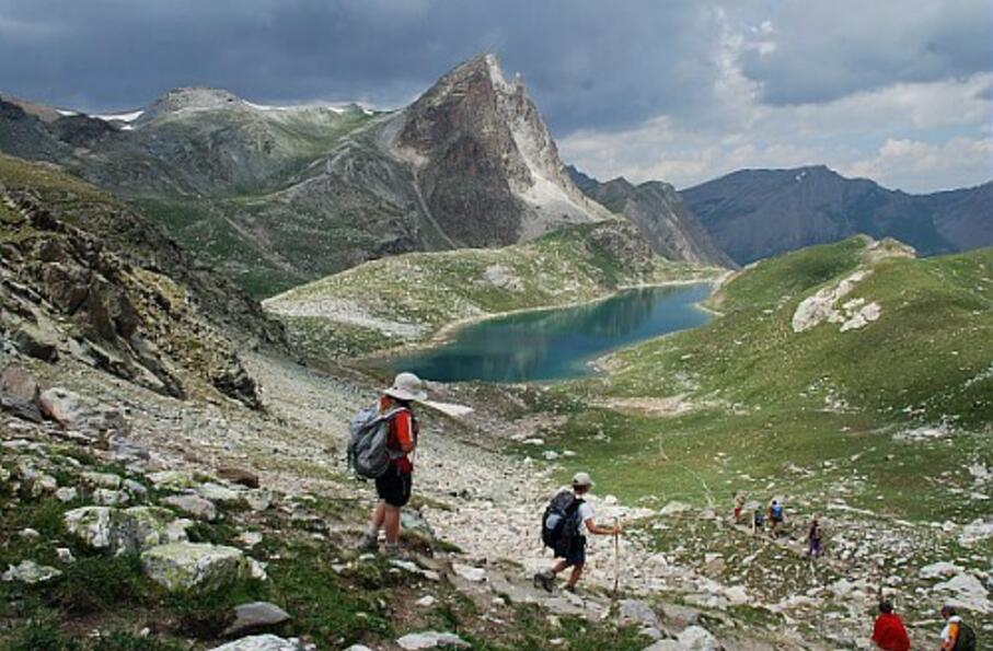
A pied

1 jour

13 km

650 m

650 m

Difficulté 3

3637OT

à traduire (en)

2550 m

Durée de l'étape la plus longue
04:00:00

The discovery of a geological phenomenon: the rocky glaciers of the valley of Mary. Formed of frozen water and rocks, they progress like a true glacier.

Round trip over one day: departure and return to the mountain hut of Maljasset

Tick and untick to personalise your map. You will only see elements linked 'at the start' on your map (See path X)

Loading
Ski-ing conditions :
Orientation :

Downloads
Stages A pied
  • Start:CHALET DE MALJASSET (FFCAM)
  • End:CHALET DE MALJASSET (FFCAM)
  • Duration:04h00
  • Dénivelé positif en été:650 m
  • Dénivelé négatif en été:650 m
  • Distance en été:13 km
  • Remarks:
    Description:
    From the mountain hut of Maljasset (1903 m), take the road on the right. After the cemetery, leave it and take the track on the right that will quickly cross the Ubaye.
    The track sinks in undergrowth, runs along a creek, then becomes a path edged with shale stone.
    The pathway will quickly go up in wide zigzags. On reaching a grassy slope, don't take the left pathway that leads to an old quarry, but continue on the GR to the right.
    This one will gradually rise overlooking the right orographic bank of the stream of Mary. Go past the lower sheepfold of Mary, then just before the upper sheepfold, leave the GR and take a path on the right towards the pass of Marinet (Col de Marinet).
    The pathway bypasses the Marinet rock by the right and then runs along the stream of Béal de Marinet before reaching a green flat land on the edge of the small lake of Marinet.
    Continue along the pathway to reach the Southern end of the large Marinet lake (2550 m).
    The return to the mountain hut takes place via the reverse route.

<< < > >>

You can book your accommodation if their availabilities show. If not, there is a link to websites where you can make your reservation.