ALPES - Mercantour-Argentera
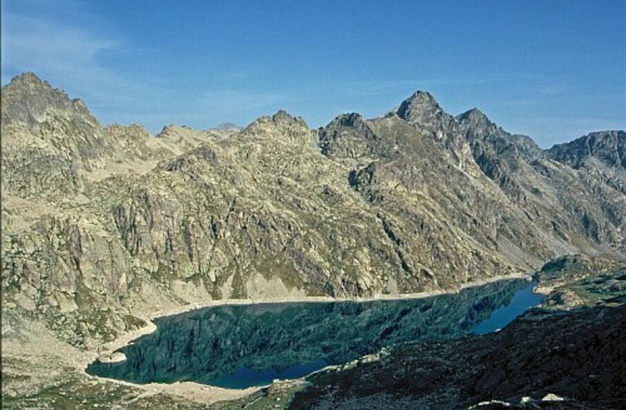
La baisse de Fontanalbe, large col, marque le passage entre l'univers minéral de la Valmasque et le verdoyant vallon de Fontanalbe.
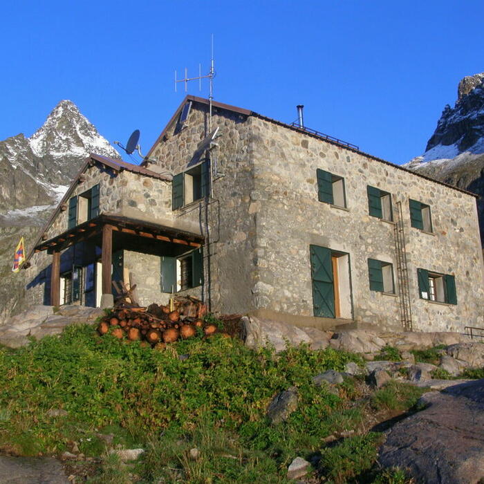
Aller-Retour sur 1 journée: départ et retour au refuge de Valmasque
Cocher ou décocher les groupes d'informations que vous souhaitez voir apparaître sur la carte.
Seuls les éléments liés "à l'entrée" (exemple : circuit X) sur laquelle vous êtes venus sur la carte sont affichés.
| Etape | A pied |
|---|---|
|
|


