ALPES - Mercantour-Argentera
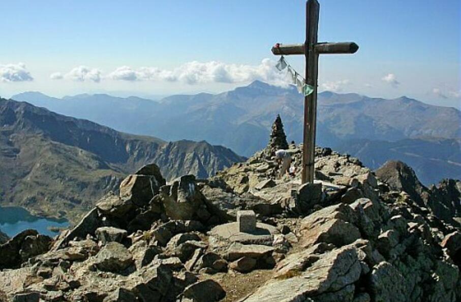
Point culminant de la Haute-Tinée, le mont Tenibre offre un panorama exhaustif sur les Alpes du Sud et du Nord grâce à sa position centrale.
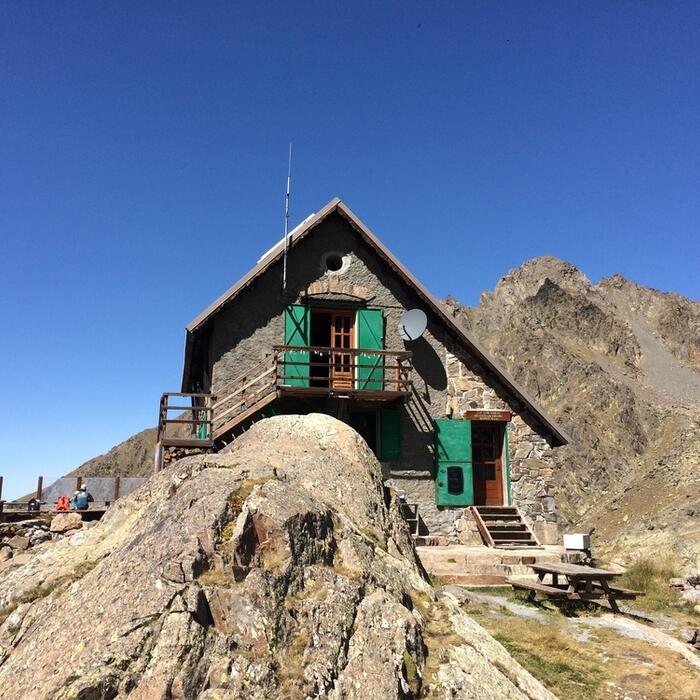
Aller-retour sur une journée : départ et retour au refuge de Rabuons
Cocher ou décocher les groupes d'informations que vous souhaitez voir apparaître sur la carte.
Seuls les éléments liés "à l'entrée" (exemple : circuit X) sur laquelle vous êtes venus sur la carte sont affichés.
| Etape | A pied |
|---|---|
|
|


