ALPES - Queyras Sud-Parpaillon-Ubaye-Orrenaye
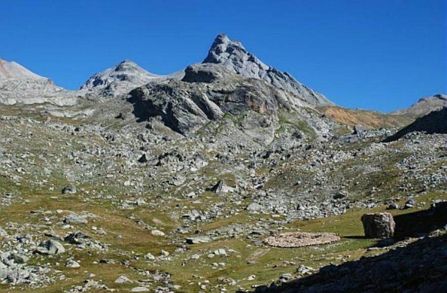
Moins fréquentés que leurs cousins les lacs de Marinet, les lacs de Roure s'étendent dans un écrin sauvage au coeur d'un cirque de "3000"
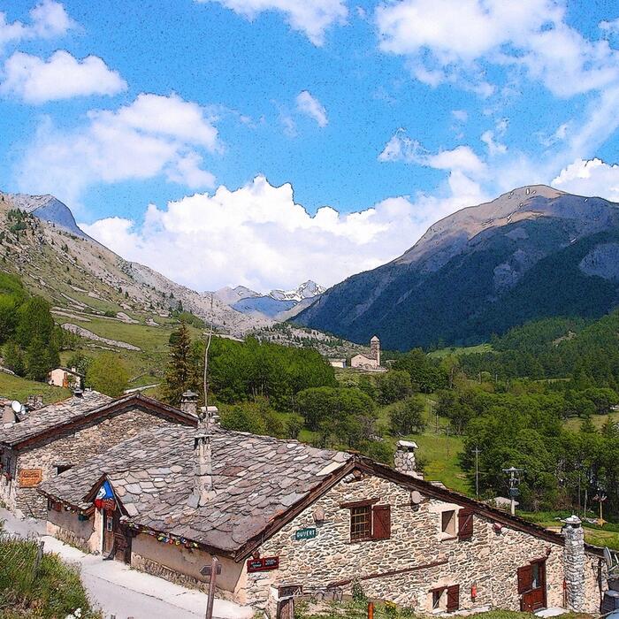
Boucle sur 1 journée : départ et retour du refuge de Maljasset
Cocher ou décocher les groupes d'informations que vous souhaitez voir apparaître sur la carte.
Seuls les éléments liés "à l'entrée" (exemple : circuit X) sur laquelle vous êtes venus sur la carte sont affichés.
| Etape | A pied |
|---|---|
|
|


