ALPES - Mercantour-Argentera
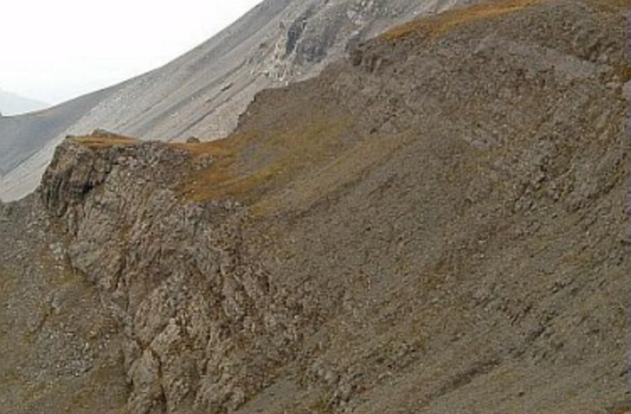
Entourée de pâturages et de champs d'éboulis marneux, la cime de Pal jette son promontoire rocheux au-dessus des profondes saignées des vallons voisins.
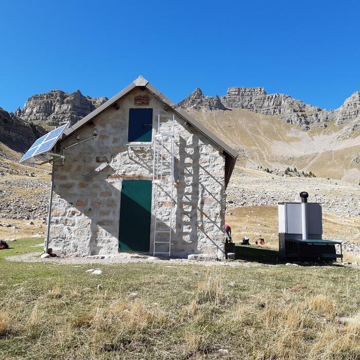
Aller-retour sur 1 journée : départ et retour au refuge de Gialorgues
Cocher ou décocher les groupes d'informations que vous souhaitez voir apparaître sur la carte.
Seuls les éléments liés "à l'entrée" (exemple : circuit X) sur laquelle vous êtes venus sur la carte sont affichés.
| Etape | A pied |
|---|---|
|
|


