ALPES - Mercantour-Argentera
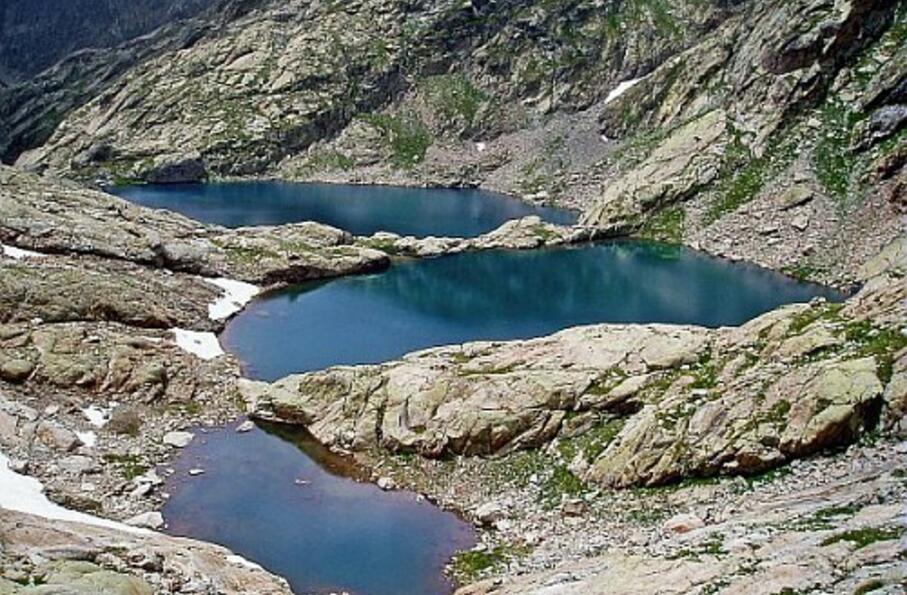
Nichés au pied de la Ruine, les lacs Bessons ("jumeaux" en provençal) étalent leurs eaux limpides à 2545m et représentent l'un des sites lacustres les plus fameux du Mercantour.
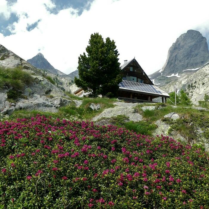
Boucle sur 1 journée : départ et retour au refuge de Cougourde
Cocher ou décocher les groupes d'informations que vous souhaitez voir apparaître sur la carte.
Seuls les éléments liés "à l'entrée" (exemple : circuit X) sur laquelle vous êtes venus sur la carte sont affichés.
| Etape | A pied |
|---|---|
|
|


