ALPES - Queyras Sud-Parpaillon-Ubaye-Orrenaye
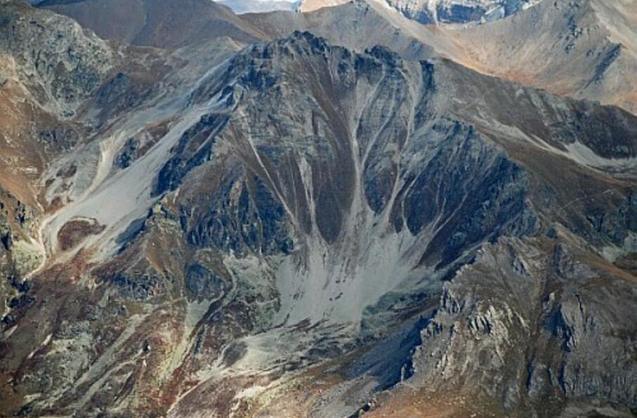
A la découverte de vallées et de cols sauvages, dans un écrin minéral de pics acérés au pied desquels les lacs offrent une multitude de couleurs sans cesse renouvelées
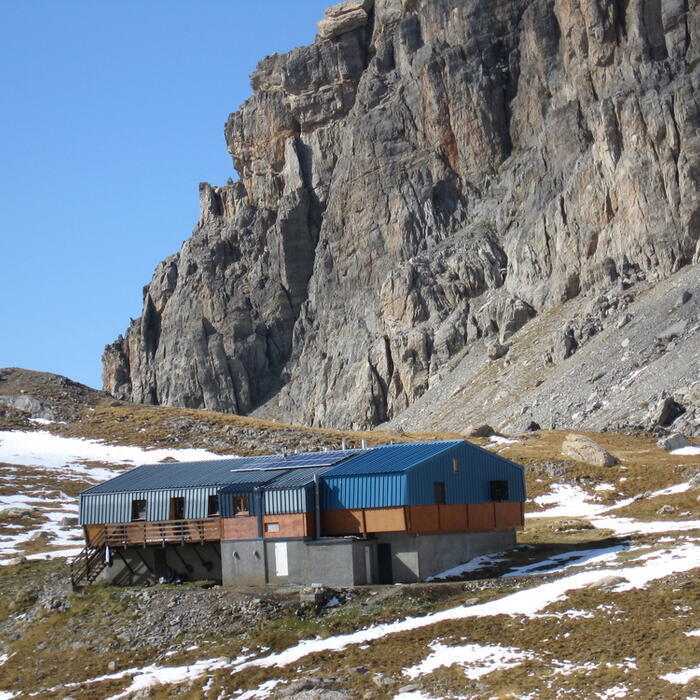
Boucle sur 1 journée : départ et retour au refuge de Chambeyron
Cocher ou décocher les groupes d'informations que vous souhaitez voir apparaître sur la carte.
Seuls les éléments liés "à l'entrée" (exemple : circuit X) sur laquelle vous êtes venus sur la carte sont affichés.
| Etape | A pied |
|---|---|
|
|


