Au pied des "3000" Boucle 5 jrs

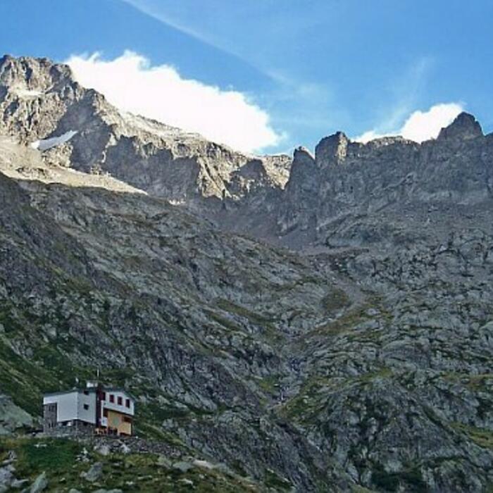
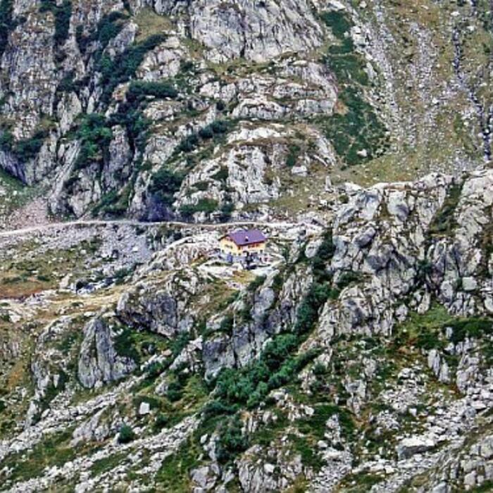
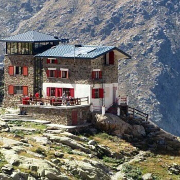
ALPES - Mercantour-Argentera
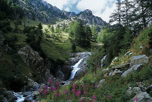
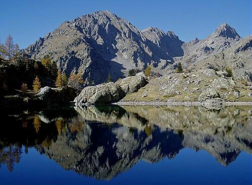
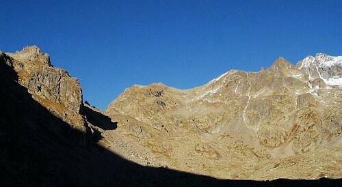
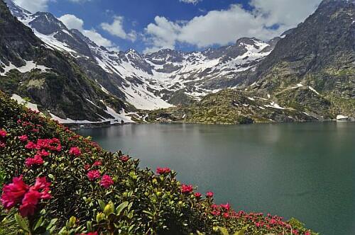
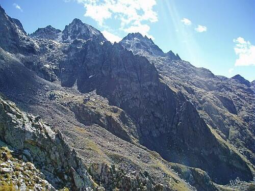
A pied

5 jours

33 km

2700 m

2700 m

Difficulté 3

3741OT

à traduire (en)

2892 m

Durée de l'étape la plus longue
06:30:00

Between the Gelas in the South and the Argentera in the North, this 5-day journey leads from the shadowy Boréon forests to the "3000" mineral decoration of the border ridge

Circuit on 5 days: departure and return to the superior car park of Boréon

Tick and untick to personalise your map. You will only see elements linked 'at the start' on your map (See path X)

Loading
Ski-ing conditions :
Orientation :

Downloads
Stages A pied
  • Start:Cougourde : Boreon Supérieur-Hors enneigement
  • End:REFUGE DE LA COUGOURDE (FFCAM)
  • Duration:02h00
  • Dénivelé positif en été:450 m
  • Distance en été:3.2 km
  • Difficulty:à traduire (en)
  • Remarks:
    From the upper parking lot of Boréon (1610 m-beacon.420)
    Take left the wide path.
    At the beacon 421, go on straight ahead, ignoring the right pathway leading to Maïris.
    Start going upwards to the chalet Vidron (beacon.422).
    Continue on the yellow marking to reach the bridge of Peirastreche that take to cross the stream of Boréon (beacon.423).
    Then, on the other bank, continue to go upwards on the GR52, ignoring the tiny pathway on the left at a large cairn. Once reached the plateau of Gias de Peirastreche (beacon.425), leave the GR and climb on the left path that will lead you to a plateau.
    From there, the mountain hut of Cougourde (Refuge de Cougourde-2122 m) is near on your left.
  • Start:REFUGE DE LA COUGOURDE (FFCAM)
  • End:REFUGE CAI SORIA ELLENA
  • Duration:04h30
  • Dénivelé positif en été:400 m
  • Dénivelé négatif en été:660 m
  • Distance en été:7.6 km
  • Remarks:
    Through Col de Fenestre

    Information : this route includes some passages of scree.

    Description:
    From the mountain hut of Cougourde (2100 m), head East to cross the stream by the footbridge (beacon.426).
    On the East, take the signposted pathway, which soon after, will be oriented South while staying on the level, till you reach beacon 427 (2187 m).
    Continue Southeast on the GR 52 on a long flat edge that goes along the lake of Trécolpas. Once you pass the lake, the slope will steepen up all of a sudden and the climb will end with several zigzags on a fairly steep slope before reaching the mountain pass "Pas des Ladres" (2448 m-beacon 428).
    From there, take left the yellow signposted pathway which leads in a lateral traverse to the beacon 369. On the left you reach the pass of Fenestre (Col de Fenestre,2474 m).
    From the pass, take the path down to the Italian side. Continue downhill to the bottom of the valley. Cross the "Gorges delle Maura", then take the earthy track on the right to reach the mountain hut Soria Ellena (Rifugio Soria Ellena, 1840 m).
  • Start:REFUGE CAI SORIA ELLENA
  • End:REFUGE CAI GENOVA FIGARI
  • Duration:04h00
  • Dénivelé positif en été:680 m
  • Dénivelé négatif en été:510 m
  • Distance en été:8 km
  • Remarks:
    Through Colle Fenestrelle

    Description:
    From the mountain hut Soria Ellena (1840 m), go down the earthy track. Follow right and over the Gesso della Barra. At the bridge, take the left trail (GTA) which rises in zigzags on a grassy rump till the pass of Fenestrelle (Colle Fenestrelle, 2470 m).
    From there, go to the other side by a path overlooking the lake-dam of Chiotas.
    From the lake, turn left on the path that runs along its shore before reaching the mountain hut of Genova (Rifugio Genova, 2010 m).
  • Start:REFUGE CAI GENOVA FIGARI
  • End:REFUGE CAI FRANCO REMONDINO
  • Duration:06h30
  • Dénivelé positif en été:880 m
  • Dénivelé négatif en été:460 m
  • Distance en été:5.7 km
  • Remarks:
    Through Pas du Brocan

    WARNING: PRESENCE OF LASTING SNOWFIELDS. PLEASE FIND OUT MORE FROM THE HUT MANAGER. Route without signposts. Requires map and compass, or GPS. Please note that this route includes passages on scree.

    Description:
    From the mountain hut Genova (2010 m), take the trail of the pass of Ruine that rises Southwest to the Western bank of the lake Brocan.
    At map point 2170, leave this pathway to take the signposted path which rises West, right, in the mountain depression of Brocan till the mountain pass of the same name (Pas du Brocan, 2892 m).
    From the pass, go down West on the other side by a steep pathway. Continue through a North / Northwest traverse under Il Bastion. Once you arrive under the lake Nasa, turn West and move down following the cairns, and then the yellow marking till the mountain hut Remondino (Rifugio Remondino, 2430 m).
  • Start:REFUGE CAI FRANCO REMONDINO
  • End:Cougourde : Boreon Supérieur-Hors enneigement
  • Duration:05h30
  • Dénivelé positif en été:210 m
  • Dénivelé négatif en été:1030 m
  • Distance en été:7.4 km
  • Difficulty:à traduire (en)
  • Remarks:
    Through Guilié pass

    WARNING: LASTING SNOWFIELDS ; GET INFORMED TO THE HUT MANAGER. Unmarked route: Have a map and a compass, or a GPS. Also note a progression on scree

    Description:
    From the mountain hut Remondino (2430 m), head East following the yellow marks.
    Around the Punta Lauranti, the direction will bend South-East, then South. Continue almost at the same altitude up to Col Guilié, ignoring the left trail leading to the Passo Brocan.
    From the Guilié pass (Col de Guilié, 2639 m), turn on the French slope following the cairns to descend South in the Guilié depression. At the Sagne des Erps at 2200m altitude, the trail will become better to descend Southwest in the valley of the Erps.
    At the "Vacherie des Erps" (1749 m-beacon 378), take the signposted left-hand trail that runs South-east through the forest to the beacon 379 on the GR52.
    Follow it in the same direction until the beacon 380. Cross the river on the right, then, through the track, join the chalet restaurant. Turn left at the "Vacherie du Boréon" and take the Eastern trail which leads quickly to the upper car park of Boréon (1610 m).

<< < > >>

You can book your accommodation if their availabilities show. If not, there is a link to websites where you can make your reservation.