ALPES - Mercantour-Argentera

Etapes 4 et 5 de la Grande Traversée du Mercantour
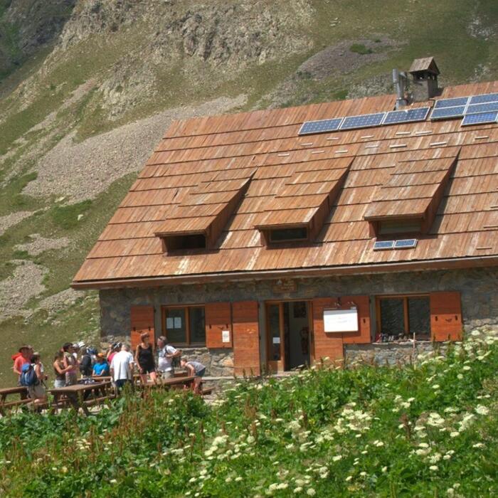
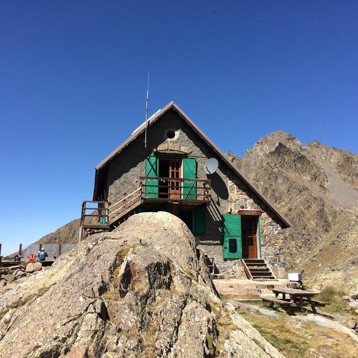
Traversée 1 jour : départ refuge FFCAM de Vens, arrivée refuge FFCAM de Rabuons
Grande Traversée du Mercantour : parcours complet à consulter sur Randoxygene
Cocher ou décocher les groupes d'informations que vous souhaitez voir apparaître sur la carte.
Seuls les éléments liés "à l'entrée" (exemple : circuit X) sur laquelle vous êtes venus sur la carte sont affichés.
| Etape | A pied |
|---|---|
|
|


