ALPES - Mercantour-Argentera
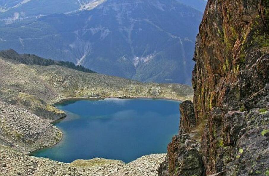
Relier entre eux les magnifiques lacs Rabuons, Chaffour, Cimon, Montagnette, Fer et Pétrus avec au passage l'ascension du mont Tenibre : voilà un bel objectif pour une matinée alpine autour du sauvage chaînon du Lusernier.
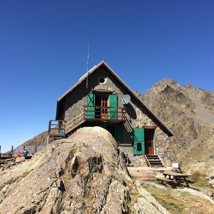
Boucle sur 1 journée : départ et retour au refuge de Rabuons
Cocher ou décocher les groupes d'informations que vous souhaitez voir apparaître sur la carte.
Seuls les éléments liés "à l'entrée" (exemple : circuit X) sur laquelle vous êtes venus sur la carte sont affichés.
| Etape | A pied |
|---|---|
|
|


