Ref.Nice-Pas Ouest du Mont Clapier Boucle 1j

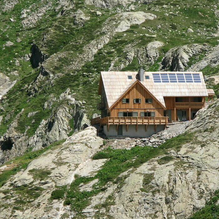
ALPES - Mercantour-Argentera
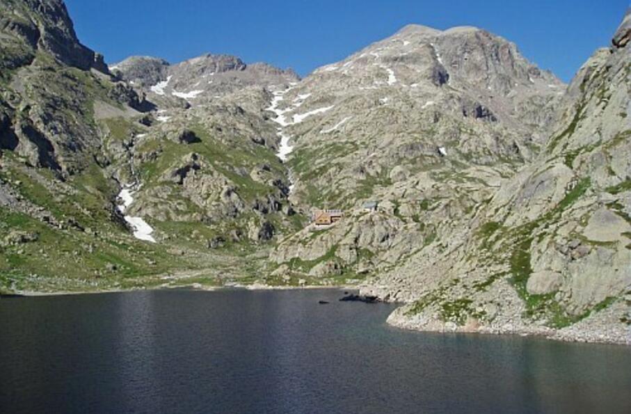
A pied

1 jour

4 km

650 m

650 m

Difficulté 3

3741OT

à traduire (en)

2834 m

Durée de l'étape la plus longue
06:00:00

The pass of Mount Clapier, located on the cross-border ridge, allows to admire closely the "3000" of the Mercantour which surround it

Circuit over 1 day: departure and return to the mountain hut of Nice

Tick and untick to personalise your map. You will only see elements linked 'at the start' on your map (See path X)

Loading
Ski-ing conditions :
Orientation :

Downloads
Stages A pied
  • Start:REFUGE DE NICE (FFCAM)
  • End:REFUGE DE NICE (FFCAM)
  • Duration:06h00
  • Dénivelé positif en été:650 m
  • Dénivelé négatif en été:650 m
  • Distance en été:4.2 km
  • Remarks:
    WARNING: Route without signposts. Requires map and compass, or GPS. Includes some passages of scree.

    Description:
    From the mountain hut of Nice (2232 m-beacon 417), go down a few meters on the GR52. Then locate the cairns that mark the valley of mount Clapier. Follow them in a progression towards the Northeast along the valley. At about 2550m of altitude, take care : do not take on the left the pathway leading to mount Clapier lakes, neither on the right that of the mount Clapier. Instead continue Northeast in the screes.
    A mountain depression will give you some rest before resuming the final steep ascent of the Western mountain pass of mount Clapier (Pas Ouest du Mont Clapier-2834 m).
    Go down by the same route until about 2750m of altitude. Then turn West to meet the mount Clapier lakes. Go down to the lakes (2537 m) and recover between the 2 lakes a path that descends along the valley of Pagari. Continue the descent until reaching the GR52 and then reach the nearby mountain hut of Nice.

<< < > >>

You can book your accommodation if their availabilities show. If not, there is a link to websites where you can make your reservation.