ALPES - Mercantour-Argentera
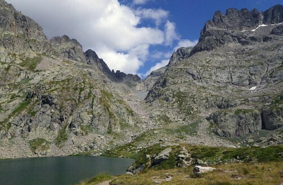
Magnifique parcours de haute-montagne, de la dureté de l'univers minéral à la douceur des rives vertes du lac Autier
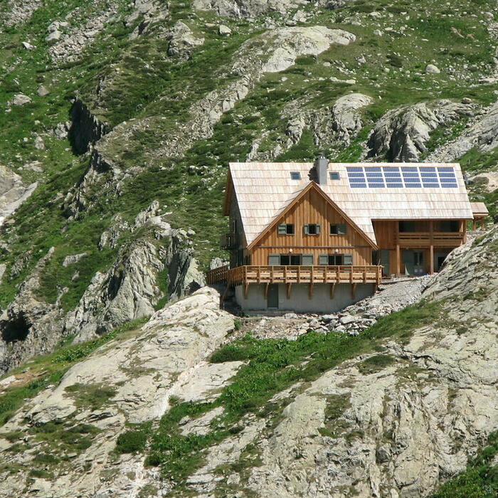
Boucle sur une journée : départ et retour au refuge de Nice
Cocher ou décocher les groupes d'informations que vous souhaitez voir apparaître sur la carte.
Seuls les éléments liés "à l'entrée" (exemple : circuit X) sur laquelle vous êtes venus sur la carte sont affichés.
| Etape | A pied |
|---|---|
|
|


