Ref.Nice-Cime Viglino A/R 1j

ALPES - Mercantour-Argentera
A pied

1 jour

5.3 km

680 m

680 m

Difficulté 3

3741OT

à traduire (en)

2910 m

Durée de l'étape la plus longue
06:00:00

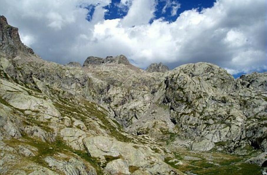
Panoramic summit on the circus of La Valmasque and its lakes.

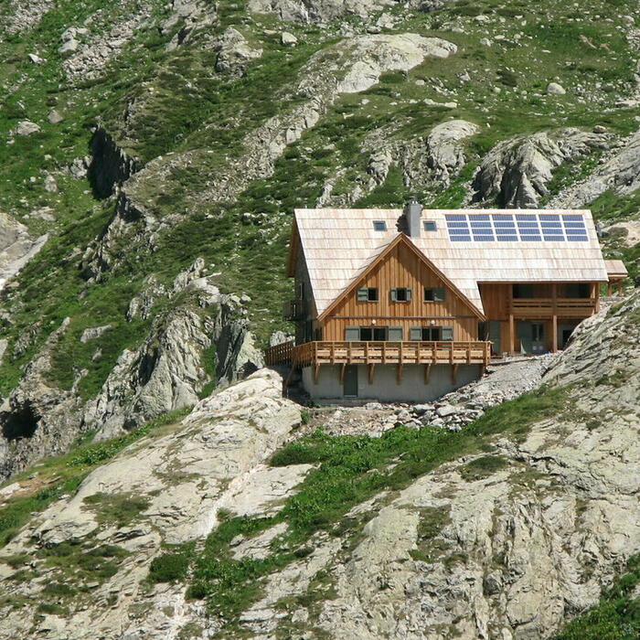
Round-trip on 1 day: departure and return to the mountain hut of Nice

Tick and untick to personalise your map. You will only see elements linked 'at the start' on your map (See path X)

Loading
Ski-ing conditions :
Orientation :

Downloads
Stages A pied
  • Start:REFUGE DE NICE (FFCAM)
  • End:REFUGE DE NICE (FFCAM)
  • Duration:06h00
  • Dénivelé positif en été:680 m
  • Dénivelé négatif en été:680 m
  • Distance en été:5.3 km
  • Remarks:
    WARNING: Route without signposts. Requires map and compass, or GPS. This route includes a progression on scree.

    Description:
    From the mountain hut of Nice (2232 m-beacon 417), follow the red and white markings of the GR52 which goes up a few meters to emerge on a grassy flat land.
    On approaching the beacon 418 (2250 m), leave the GR to go East-North-East on a pathway with cairns located on the right orographic bank of the valley of La Fous. Around the map point 2367, the tiny pathway will turn to the left to go up in a steep slope of scree, and pass under the summit Asquasciati.
    At about 2550m altitude, the slope will subside in the upper part of the valley, and the tiny pathway will take an East-Northeast axis until reaching the mountain pass of La Fous (Pas de la Fous-2898 m).
    From there, climb North-Northeast off trail to reach the Viglino peak (2910 m).
    The return to the mountain hut of Nice occurs by the reverse route.

<< < > >>

You can book your accommodation if their availabilities show. If not, there is a link to websites where you can make your reservation.