Ref.Gialorgues-Cime de Bolofré A/R 1j

ALPES - Mercantour-Argentera
A pied

1 jour

11 km

825 m

825 m

Très difficile

3639OT

à traduire (en)

2827 m

Durée de l'étape la plus longue
06:00:00

Mountain with pure lines that dominates the mountain pastures of Gialorgues

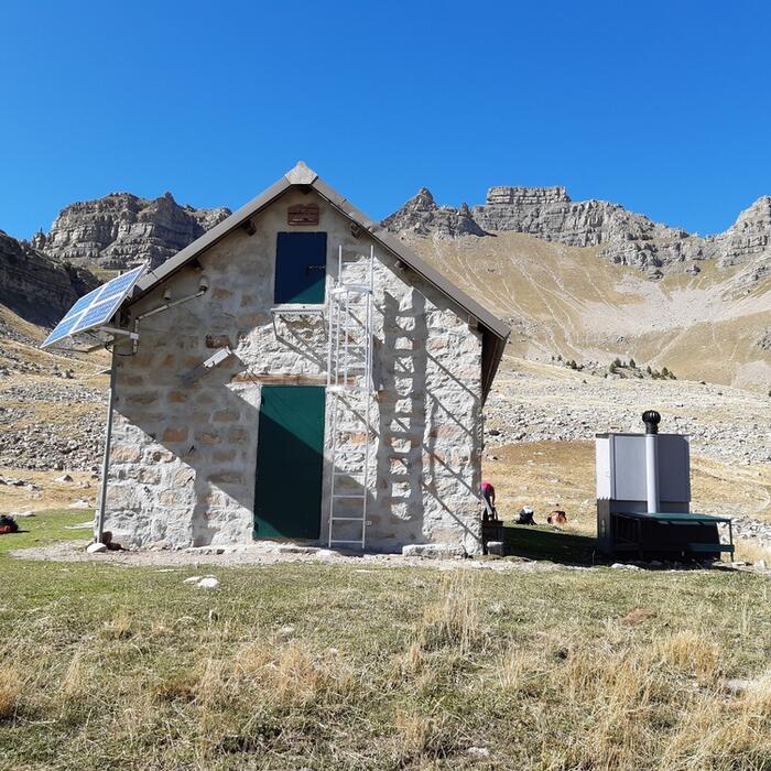
Round trip over 1 day from the mountain hut of Gialorgues

Tick and untick to personalise your map. You will only see elements linked 'at the start' on your map (See path X)

Loading
Ski-ing conditions :
Orientation :

Downloads
Stages A pied
  • Start:REFUGE DE GIALORGUES (FFCAM)
  • End:REFUGE DE GIALORGUES (FFCAM)
  • Duration:06h00
  • Dénivelé positif en été:825 m
  • Dénivelé négatif en été:825 m
  • Distance en été:10.6 km
  • Remarks:
    WARNING: Route without signposts. Requires map and compass, or GPS. Please note that there is an aerial progression on narrow ridges.

    Description:
    From the mountain hut of Gialorgues (2280 m-beacon.73a), take the pathway to the south to reach the Gialorgues mountain pass (col de Gialorgues).
    From there (2519 m-beacon.279), following the markings, go Southeast until the mountain pass of Boulière (2629 m-beacon.280).
    From there, continue on the pathway eastward until a steep descent begins to the south. At this point, leave the yellow markings and head towards the inclining crossing to the East. In front of you, you will see the Pointe de l'Escaillon (2740 m), which you have to climb the best you can.
    Go down on the narrow ridge Northeast until the mountain pass of Escaillon (2601 m) and then climb the broad grassy rounded hilltop, by a tiny pathway with cairns. This will lead you to the Bolofré peak (2827m).
    The return to the mountain hut of Gialorgues takes place via the reverse route.

<< < > >>

You can book your accommodation if their availabilities show. If not, there is a link to websites where you can make your reservation.