Ref.Chambeyron-Pas de la Souvagea A/R 1j

ALPES - Queyras Sud-Parpaillon-Ubaye-Orrenaye

A pied

2 km

270 m

270 m

Difficulté 2

3538ET

à traduire (en)

2889 m

Durée de l'étape la plus longue
02:00:00

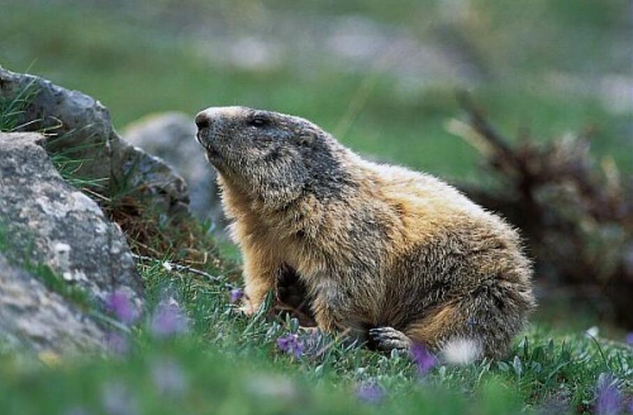
Panorama of the majestic Brec de Chambeyron

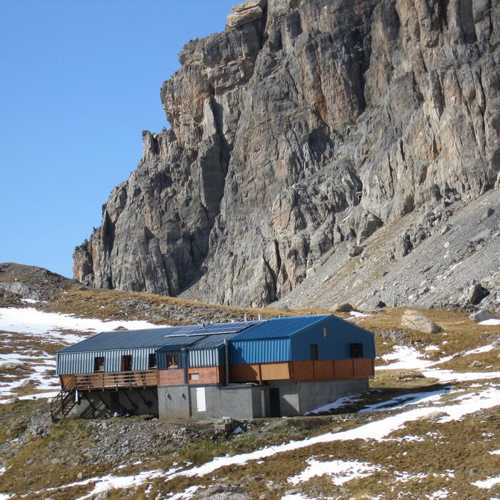
Round trip over 1 day from the mountain hut of Chambeyron

Tick and untick to personalise your map. You will only see elements linked 'at the start' on your map (See path X)

Loading
Ski-ing conditions :
Orientation :

Downloads
Stages A pied
  • Start:REFUGE DE CHAMBEYRON (FFCAM)
  • End:REFUGE DE CHAMBEYRON (FFCAM)
  • Duration:02h00
  • Dénivelé positif en été:270 m
  • Dénivelé négatif en été:270 m
  • Distance en été:2.1 km
  • Remarks:
    Description:

    From the mountain hut of Chambeyron (2616 m), go right on the pathway. Leave it quickly and take a tiny pathway on the left which goes up in the pastures, then goes along the right orographic bank of a stream.
    The pathway turn to the left and continues its ascent to a valley until the mountain pass of La Souvagea (Pas de la Souvagea, 2889 m)).
    The return to the mountain hut takes place via the reverse route

<< < > >>

You can book your accommodation if their availabilities show. If not, there is a link to websites where you can make your reservation.